Badlands National Park Guide: Loop Road and Wildlife
Nomad Toolkit
Overview & Vibe
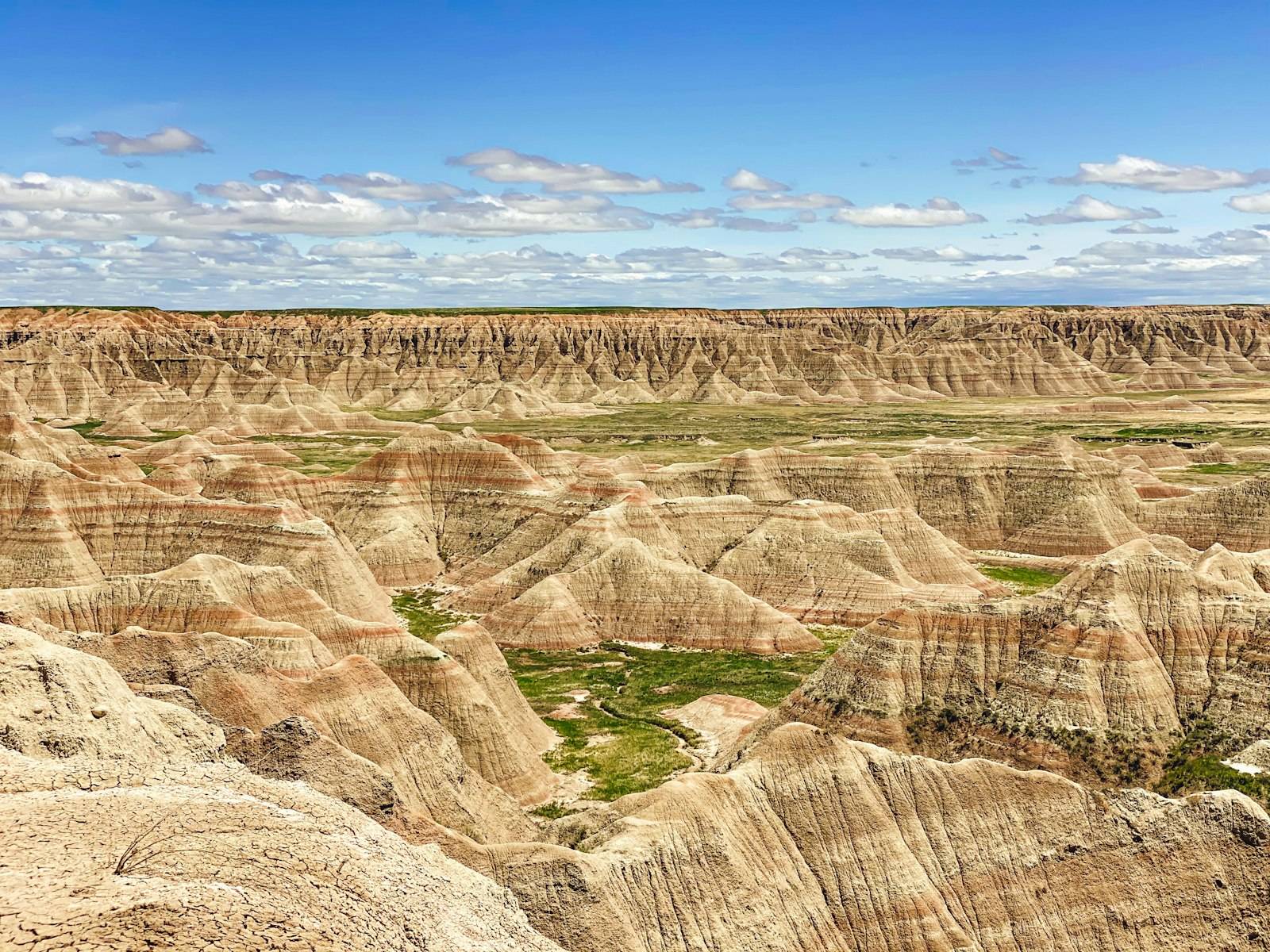
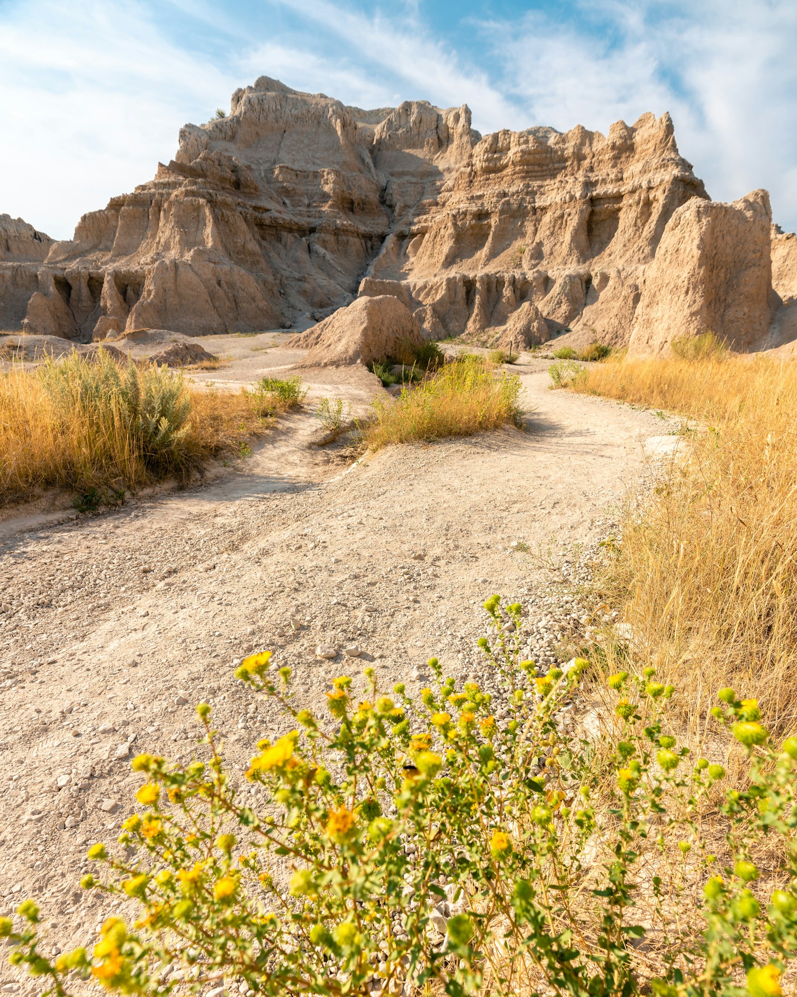
Badlands National Park covers 242,756 acres of eroded buttes, spires and mixed-grass prairie in southwestern South Dakota, and it drew 1,006,809 visitors in 2022. The rock layers hold some of the richest known Oligocene mammal fossil beds, about 33 million years old.
The park splits into the North Unit, where Highway 240 and the Badlands Loop Road carry most visitors, and the South Unit on the Pine Ridge Indian Reservation, which the park manages with the Oglala Sioux Tribe. Most first trips stay in the North Unit and can cover it in a full day.
A Brief History
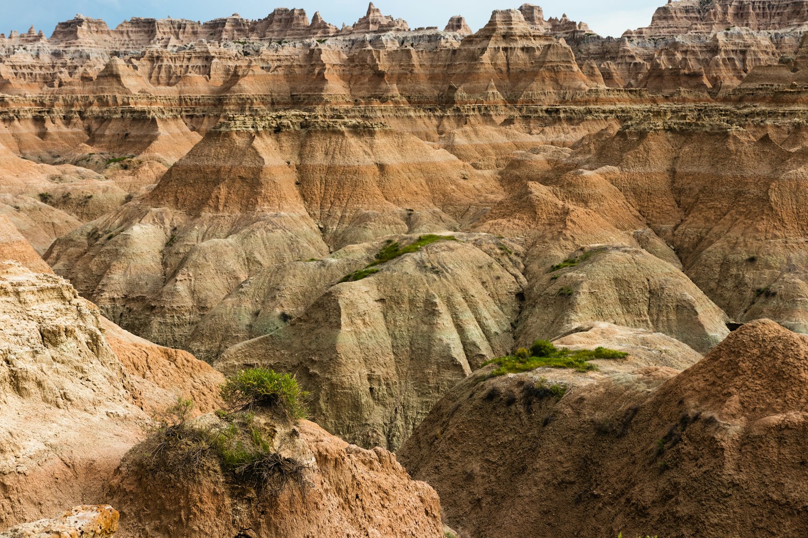
The Lakota name Makȟóšiča means "bad lands," a nod to the extreme temperatures, scarce water and rough ground. Congress authorized Badlands National Monument on March 4, 1929, it was established on January 25, 1939, and it became a national park on November 10, 1978. By 1854, 77 of the 84 fossil species then known from North America had been found in the White River Badlands (Wikipedia).
Transportation
You need a car. There is no park shuttle and no transit service into the park.
- Rapid City is the closest commercial airport. The Pinnacles Entrance is about 75 miles east and south of the city.
- Eastbound on I-90, take Exit 110 at Wall and drive about 7 miles south to the Pinnacles Entrance.
- Westbound on I-90, take Exit 131 at Interior and drive about 3 miles south to the Northeast Entrance.
- The Northeast Entrance is about 274 miles west of Sioux Falls, a little under 4 hours.
Park Etiquette & Wildlife Rules
The park's bison herd started with 50 animals from Theodore Roosevelt National Park in 1963 and now tops 1,200. Bighorn sheep number around 233, and about 100 endangered black-footed ferrets live in the prairie dog colonies. Stay well back from bison and sheep, never feed prairie dogs, and leave every fossil where you find it. Fossil poaching is an ongoing problem, so report finds to a ranger instead.
Safety & Security
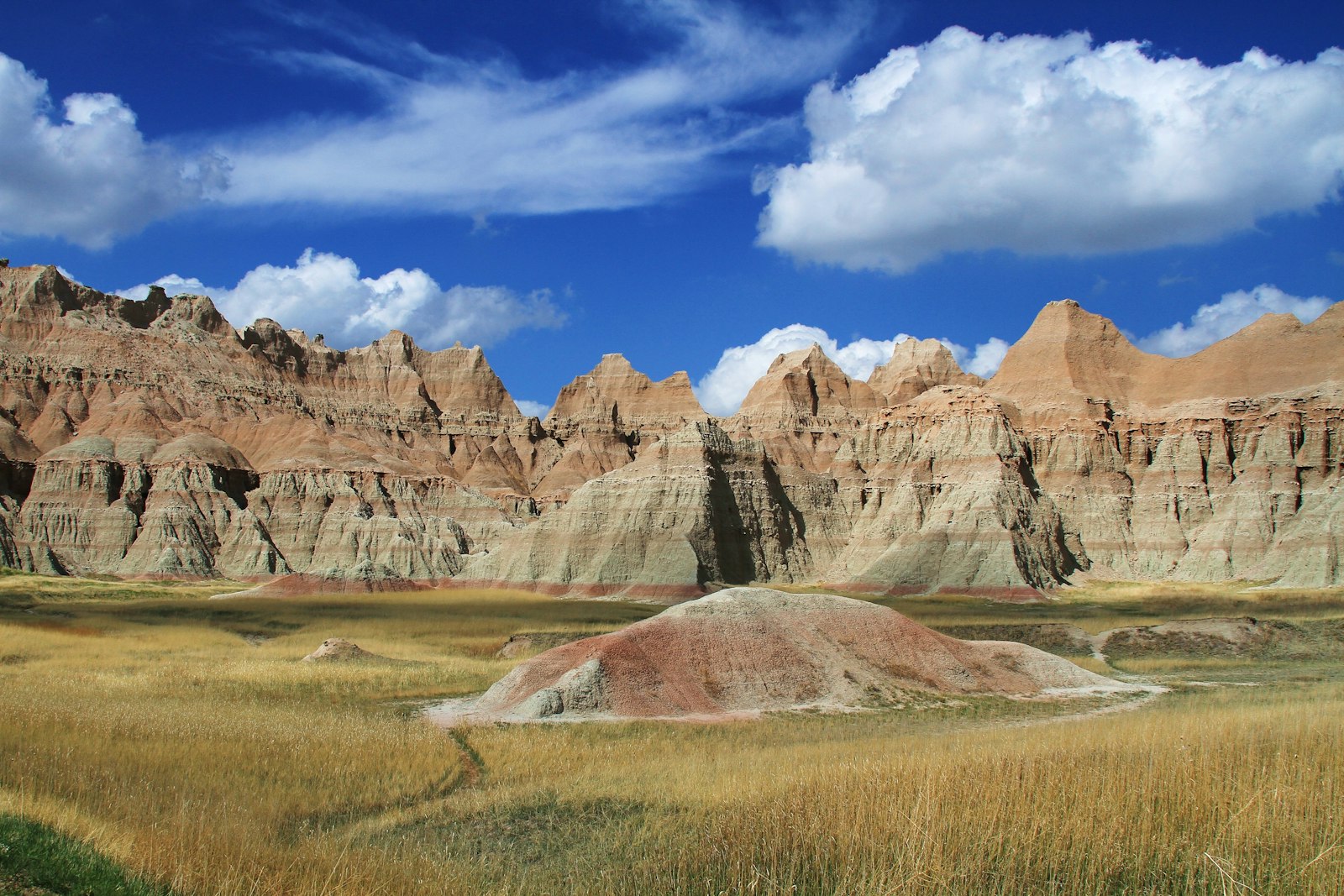
Heat and dehydration are the main risks in summer, when July highs average 91 F and the trails have little shade. The Notch Trail is unsafe after heavy rain, when the clay turns slick. Watch for rattlesnakes and cactus off trail. In winter, roads can be icy or closed, so check road conditions at safetravelusa.com/sd before you go.
Weather & Climate
Rounded 1991 to 2020 averages for Interior, South Dakota, in Fahrenheit (Wikipedia). Annual precipitation averages 19.6 inches.
| Month | High F | Low F |
|---|---|---|
| Jan | 37 | 14 |
| Feb | 41 | 16 |
| Mar | 53 | 26 |
| Apr | 62 | 35 |
| May | 72 | 46 |
| Jun | 83 | 56 |
| Jul | 91 | 62 |
| Aug | 91 | 60 |
| Sep | 82 | 51 |
| Oct | 65 | 38 |
| Nov | 50 | 25 |
| Dec | 39 | 17 |
Logistics & Practical Info
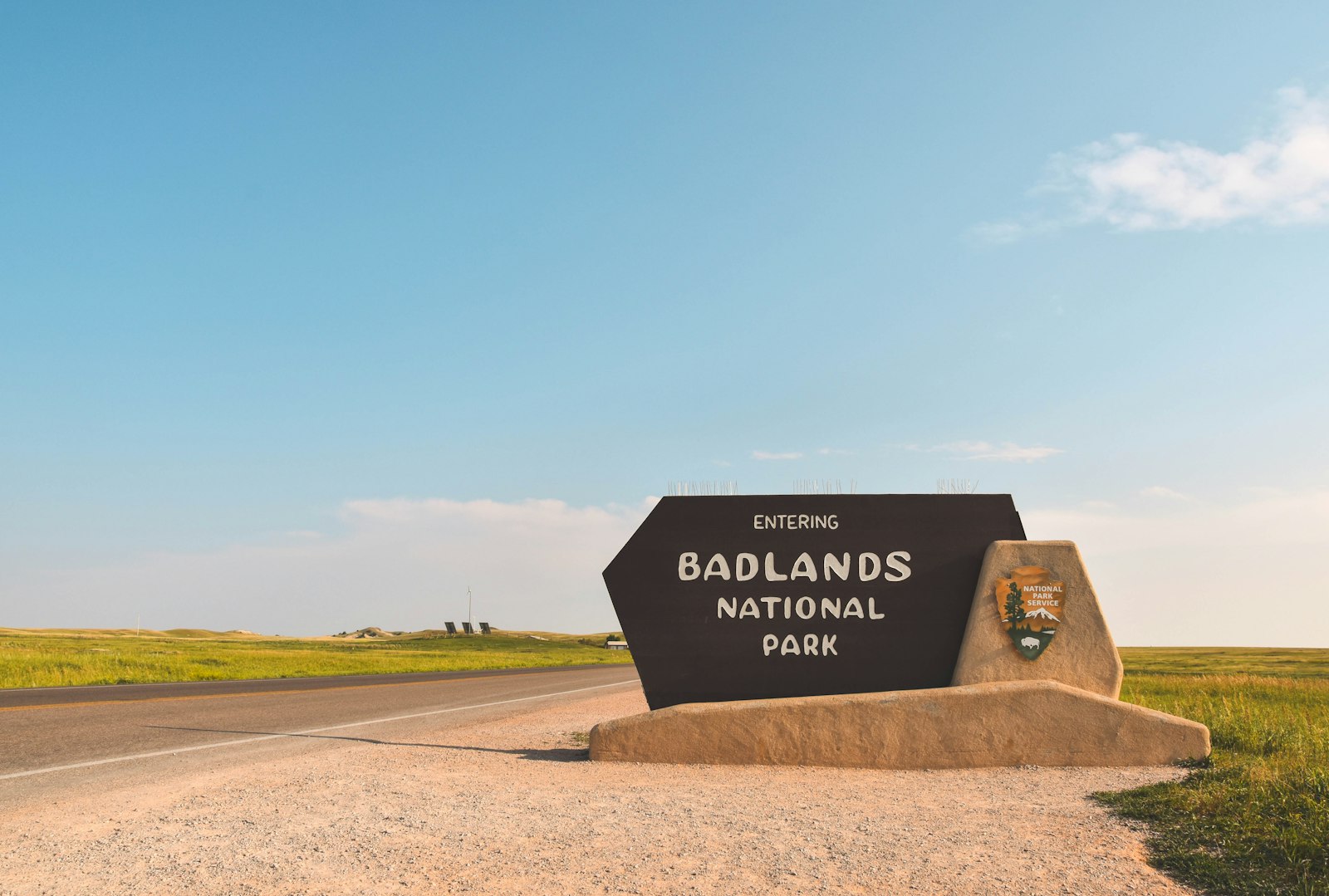
- Entrance fee: $30 per private vehicle, $25 per motorcycle, $15 per person on foot or bike, all valid 7 days. The park annual pass is $55, and America the Beautiful passes are accepted.
- The park is cashless. Entrance stations take credit or debit cards only.
- The park is open 24 hours a day, year round, and no timed entry is required.
- Ben Reifel Visitor Center hours run 8am to 4pm in winter, 8am to 5pm in spring and fall, and 7am to 7pm in summer.
- Cedar Pass Campground needs reservations on Recreation.gov: $37 for tent and non-electric sites, $47 for electric sites. Its 2026 season runs March 27 to October 19.
- Sage Creek Campground is free and first come, first served, with 22 sites, pit toilets and no water. RVs over 18 feet are not allowed.
Attractions & Activities
Top Sights
- Badlands Loop Road: the paved spine of the North Unit, with steep passes and a string of overlooks.
- Pinnacles Overlook: a wide view over the spires near the Wall entrance.
- Yellow Mounds Overlook: soft yellow hills capped with purple and red bands.
- Sage Creek Rim Road: a gravel road through the Sage Creek Wilderness and the park's best bet for bison, bighorn sheep and prairie dogs. Stop at Roberts Prairie Dog Town. The road can close in bad weather.
- Fossil Preparation Lab: inside the Ben Reifel Visitor Center, where you can watch paleontologists clean fossils and ask them questions. The 25-minute film The Land of Stone and Light plays there too.
Hikes
- Door Trail: 0.75 miles round trip, an accessible boardwalk through a gap in the Badlands Wall.
- Window Trail: 0.25 miles to a natural window over an eroded canyon.
- Notch Trail: 1.5 miles round trip with a log ladder and a ledge walk to a view of the White River Valley.
- Cliff Shelf: a 0.5-mile loop with about 200 feet of climbing through juniper on boardwalks and stairs.
- Castle Trail: 10 miles round trip and the park's longest, mostly level between the Door and Window lot and the Fossil Exhibit Trail.
- Fossil Exhibit Trail: a 0.25-mile accessible boardwalk with fossil replicas.
Where to Eat
Cedar Pass Lodge makes fry bread daily for its Sioux Indian Tacos, topped with spiced buffalo, and is open seasonally, roughly mid-April through October. In Wall, Wall Drug still pours 5-cent coffee and free ice water, a tradition Dorothy Hustead started after the family bought the store in 1931 (Wikipedia).
Health & Medical
There are no medical facilities in the park. Rapid City, about 75 miles away, is the nearest large city with full hospital care. Call 911 in an emergency.
Neighborhoods & Where to Stay
Cedar Pass Lodge is the only lodging inside the park, with cabins built in 2013 to echo the original 1928 design. Wall, 7 miles from the Pinnacles Entrance, has the most motels and food. Interior sits next to the Northeast Entrance and suits travelers starting on the east side.
Legal & Substances
South Dakota law does not allow recreational cannabis, and cannabis is illegal on all federal land, including the park. Drones are banned in national parks. Collecting fossils, rocks or plants is illegal. Generators are not permitted at Sage Creek Campground.
Customs & Shopping
The Badlands Natural History Association runs the bookstore in the Ben Reifel Visitor Center, with field guides, maps and apparel. Wall Drug adds shops and an 80-foot brontosaurus. In the South Unit, remember that you are on the Pine Ridge Reservation, where Stronghold Table hosted one of the last Ghost Dances in 1890.
Accessibility & Inclusion
The Door Trail and Fossil Exhibit Trail are accessible boardwalks, and most Loop Road overlooks are close to parking. The Ben Reifel Visitor Center has ramp entrances, accessible restrooms and accessible theater seating, and Cedar Pass Lodge offers ADA cabins. The free Access Pass covers entry for people with permanent disabilities.
Gateway Town Connectivity
The park itself says cell service inside its boundaries is inconsistent. Do your calls and uploads in Wall or Rapid City, and treat the park as an offline day. Before you arrive, install the NPS App and use "Download Offline Content" so maps and trail info work without signal.
RV and van travelers should note the septic dump in the Cedar Pass Campground group loop, potable water at the Ben Reifel Visitor Center, and the 18-foot limit at Sage Creek.
Enter at Interior, drive the Loop Road west with stops at the Door, Notch and Fossil Exhibit trails, then take Sage Creek Rim Road for bison before exiting at Wall.
Keep planning: Amicalola Falls State Park Guide, Arches National Park Guide: Delicate Arch & Top Trails and Canyonlands National Park Guide: Island in the Sky.
Details checked October 2026. Fees, road status and seasonal hours change; confirm with the park before you go. Photos: Unsplash.