Amicalola Falls State Park Guide
Nomad Toolkit
Overview & Vibe
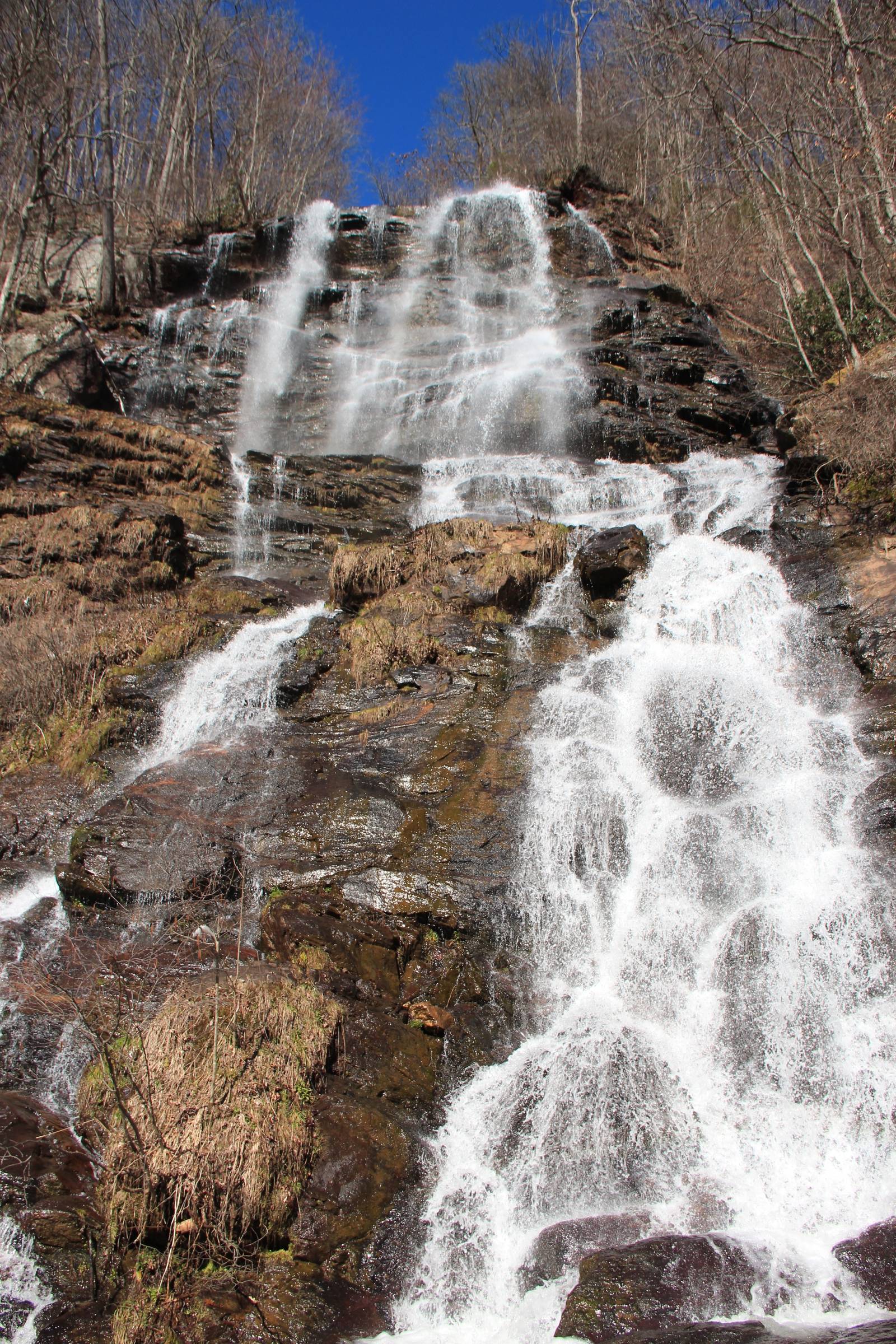
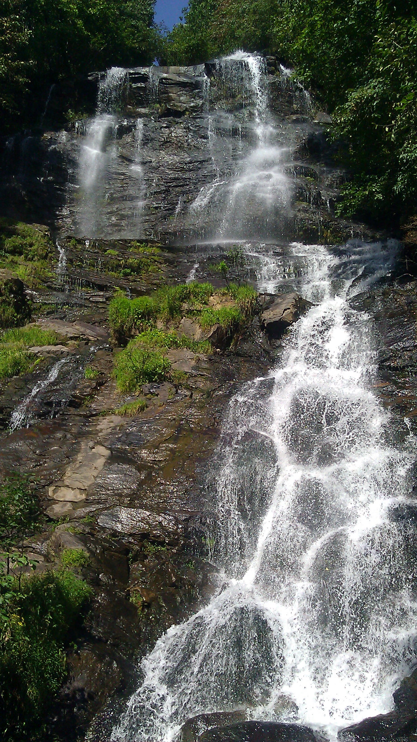
Amicalola Falls State Park protects the 729-foot cascading waterfall of the same name in Dawson County, Georgia, roughly 70 miles north of Atlanta on GA-52. The name comes from the Cherokee word for "tumbling water." At 729 feet, Amicalola is the tallest cascading waterfall east of the Mississippi River, and the park serves as the official approach trailhead for the Appalachian Trail's southern terminus on Springer Mountain (Wikipedia), 8.5 miles away.
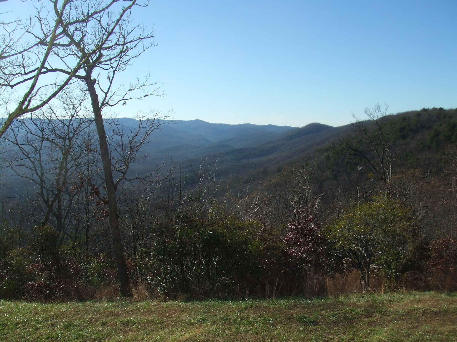
The 829-acre park draws two types of visitors: day-trippers from Atlanta making the 90-minute drive to see the falls, and AT thru-hikers beginning their 2,190-mile journey north. Spring weekends draw the highest crowds, particularly during trillium and mountain laurel bloom from late March through May. Fall foliage peaks in late October and early November.
A Brief History
The Cherokee controlled this stretch of the Blue Ridge foothills until the forced removals of the 1830s that became the Trail of Tears, and the falls' name preserves their phrase for tumbling water. Surveyor William Williamson wrote the first known account of the falls while scouting Georgia land lottery claims, calling it "perhaps the greatest in the World." The state bought the falls in 1911, but the park stayed largely undeveloped until 1958, when the Georgia Appalachian Trail Club moved the Appalachian Trail's southern terminus from Mount Oglethorpe to Springer Mountain and blazed the 8.5-mile approach trail from the base of the falls.
Transportation
No public transit serves the park. Driving is the only practical option. From Atlanta, take I-575 north to GA-5, then GA-52 West to the park entrance on Amicalola Falls State Park Road near Dawsonville. The drive takes 75-90 minutes from midtown Atlanta depending on I-285 traffic. Parking costs $5/vehicle (Georgia ParkPass). Rideshare services (Uber, Lyft) reach the park from Dawsonville, though service can be slow in this rural corridor.
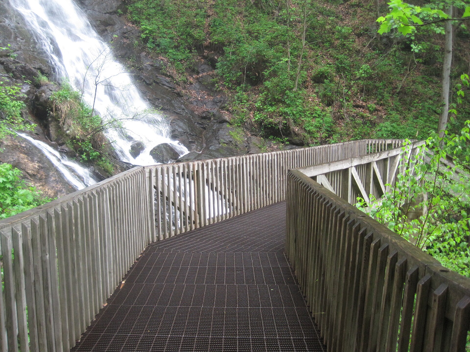
Inside the park, a paved road connects the visitor center, parking areas, and trailheads. The approach trailhead for Springer Mountain is at the top of the falls, reached via the summit stairs or the base trail. Most visitors park near the visitor center and walk the 0.4-mile base trail to the waterfall base.
Language, Customs & Etiquette
English is the only language used in the park. Leave No Trace principles apply: pack out all trash, stay on designated trails, and avoid cutting switchbacks. The park sees significant AT thru-hiker traffic from March through June; hiker etiquette gives uphill hikers the right of way. Drones are prohibited without a Georgia DNR permit. Pets are allowed on leash but not in the lodge or cabins.
Safety & Security
Black bears are active throughout the park, particularly in spring and fall. Store all food in bear canisters or hang bags when camping, and do not leave food in vehicles. The falls area has wet, uneven surfaces; waterproof footwear is strongly recommended. Cell coverage is unreliable beyond the visitor center; download offline trail maps via AllTrails before arrival. Lightning risk is high on the exposed ridgeline above the falls from June through August. Emergency number: 911. Nearest hospital: Northside Hospital Forsyth (1200 Northside Forsyth Dr, Cumming), about 30 miles south.
Weather & Climate
| Month | High (°F) | Low (°F) | Rain (in) |
|---|---|---|---|
| Jan | 46 | 26 | 4.3 |
| Apr | 67 | 43 | 4.1 |
| Jul | 86 | 64 | 4.8 |
| Oct | 67 | 43 | 3.5 |
The Blue Ridge foothills receive year-round rainfall with no true dry season. Summer afternoons bring frequent afternoon thunderstorms; plan hikes for mornings. Winter temperatures occasionally drop below freezing and ice can form on the falls and stairs, which close under icy conditions. Pack a rain layer regardless of season and bring extra socks for wet trail crossings.
Logistics & Practical Info
Park entrance: $5/vehicle (Georgia ParkPass). Annual Georgia ParkPass: $50, covers all state parks. The park is open daily from 7 AM to 10 PM. The visitor center (706-265-4703) sells maps, AT gear, and Georgia DNR merchandise, and operates as an AT trailhead registration point for thru-hikers. No cellular service on most trails; the visitor center and lodge have limited WiFi. Plug type: A/B (120V). Time zone: Eastern (UTC-5, DST applies). Tap water from park facilities is safe to drink.
Attractions & Activities
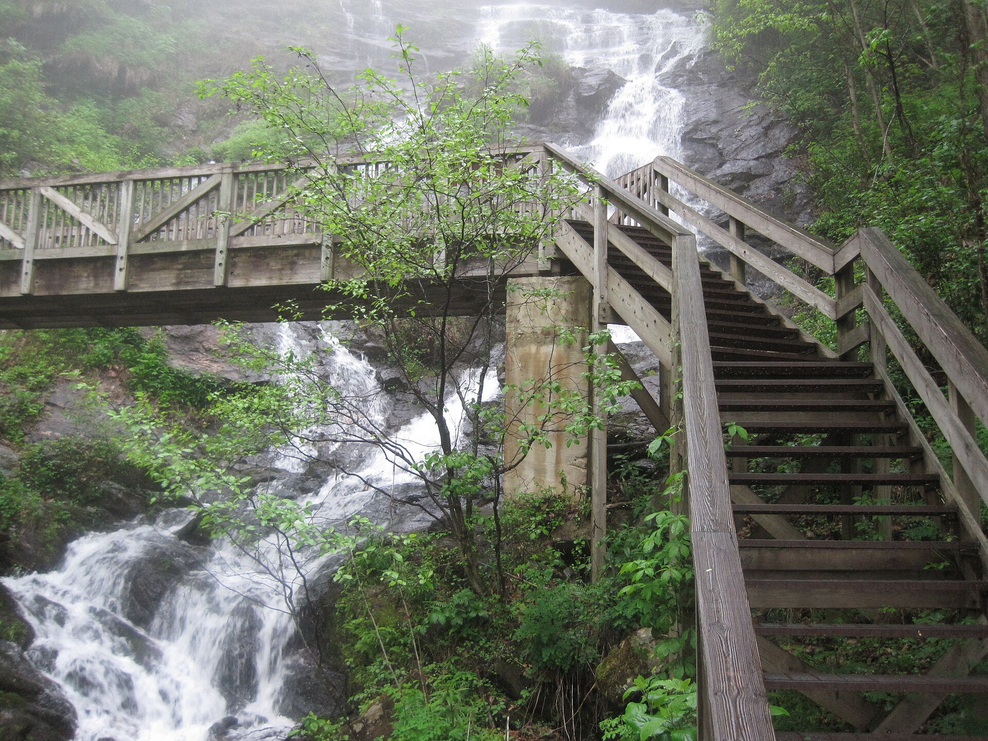
Amicalola Falls Trail System: The base-to-summit climb covers 175 steps to an observation deck mid-falls and an additional 425 steps to the top. The full falls staircase is 0.7 miles roundtrip and gains 600 feet. Expect 45-60 minutes at a moderate pace.
West Ridge Spring Trail: A 4.5-mile loop through hardwood forest with elevated views of the falls corridor. Best in spring during wildflower season and fall for foliage color. Trailhead at the lodge parking area.
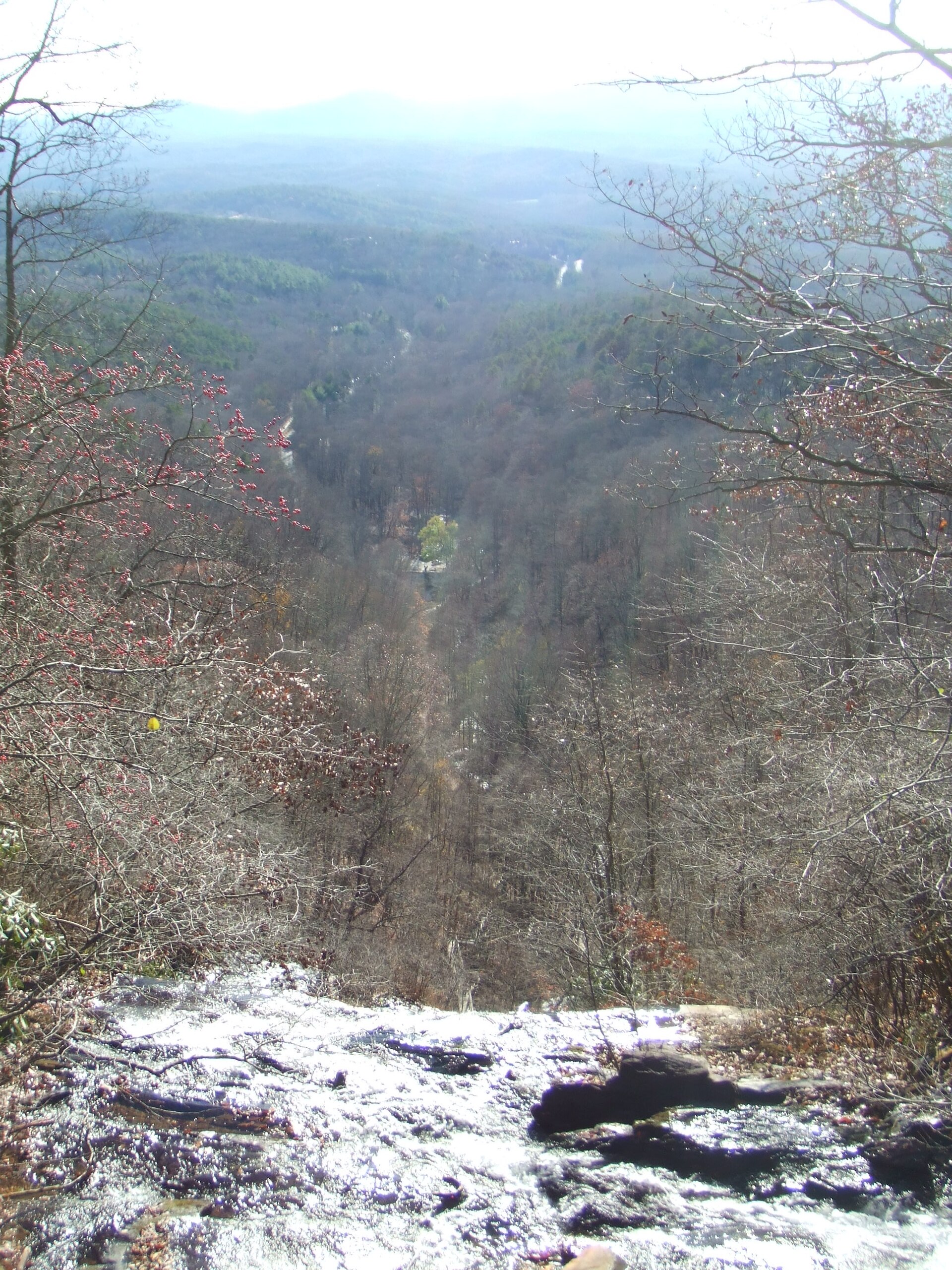
Appalachian Trail Approach Trail: The 8.5-mile approach trail from the park summit to Springer Mountain is the traditional AT starting point. Most day hikers do a 1-2 mile out-and-back on this trail without completing the full approach.
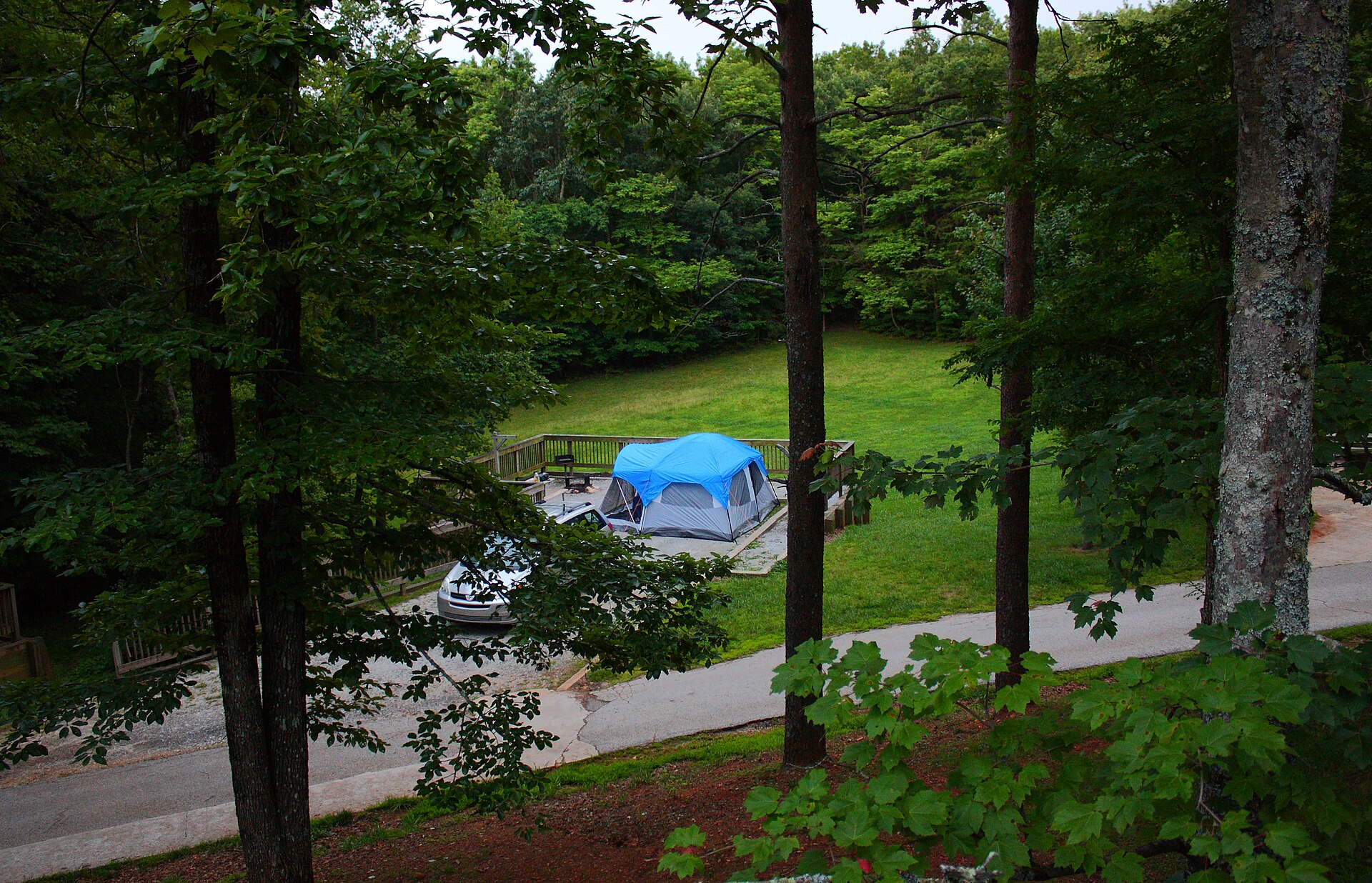
Len Foote Hike Inn (Wikipedia): A 5-mile hike from the visitor center reaches this solar-powered lodge offering beds, hot showers, and meals. Rates: $119/person/night (adults), including dinner and breakfast. Reservations required; book 3-6 months ahead for spring weekends via Georgia State Parks.
Nearby orchards and wineries: Ellijay, about 40 minutes northwest on GA-52, is the center of Georgia apple country. B.J. Reece Orchards runs pick-your-own apples and a farm store in fall, and Cartecay Vineyards pours estate wines a few miles outside town. Either makes an easy stop after a morning on the falls staircase.
Health & Medical
No major endemic diseases specific to the park, though Lyme disease risk from deer ticks exists April through September; check for ticks after every hike. Water from Amicalola Creek is not safe to drink without treatment (filter or boil). Poison ivy is present on most trails. The nearest urgent care is Dawsonville Immediate Care (191 Hwy 9N, Dawsonville), 10 miles east. Travel insurance is advisable for US visitors without domestic health coverage, as ER costs typically run $500-3,000 for minor injuries.
Demographics & Government
Dawson County (population 27,000) surrounds the park; Dawsonville (pop. 3,200) serves as county seat. The park is administered by the Georgia Department of Natural Resources (DNR), Parks and Historic Sites Division. The US is a federal constitutional republic; Georgia state law governs the surrounding region, while Georgia DNR regulations apply inside the park.
Legal & Substances
Recreational marijuana is illegal in Georgia; possession is a misdemeanor statewide. Medical cannabis (low-THC oil) is legal with a state registration card. Alcohol is permitted in campsites and picnic areas but not on trails. Firearms are permitted in the park under Georgia law (open or concealed carry with valid permit). Collecting plants, rocks, or wildlife is prohibited under Georgia DNR regulations.
Customs & Shopping
The visitor center sells maps, AT guidebooks, Georgia DNR souvenirs, and basic hiking supplies. The nearest full gear outfitter is REI Kennesaw (1400 Ernest W Barrett Pkwy NW), about 55 miles south. Grocery resupply in Dawsonville at the Kroger on GA-400 (10 miles east). Georgia sales tax: 4% state + up to 4% local = 7-8% total.
Accessibility & Inclusion
A paved accessible path leads from the lower parking area to the base of the falls observation point. An elevator at the visitor center reaches the top of the falls, bypassing the 600-step staircase. The visitor center, lodge, and most restrooms are ADA compliant. The approach trail to Springer Mountain is not accessible. Service animals are permitted throughout the park.
Digital Nomad Corner
Amicalola Falls works best as a 1-3 day detox trip from Atlanta rather than a long-term base. In-park WiFi is limited to the lodge and visitor center lobby (speeds typically under 10 Mbps). Dawsonville (10 miles east) has a Starbucks and a public library with free WiFi. For reliable work infrastructure, return to Atlanta: Switchyards (100 Edgewood Ave NE), Roam (3630 Peachtree Rd NE), and WeWork locations offer day passes from $25-40.
Costs: Drive-up campsites run $28-35/night. Park cabin rentals: $150-200/night (2-night minimum on weekends). The Len Foote Hike Inn runs $119/person/night all-inclusive. For a bed off the mountain, Lily Creek Lodge near Dahlonega, about 30 minutes east, makes a comfortable base. Day trip from Atlanta costs $5 (parking) plus gas.
Visa notes: International visitors can enter on a B-2 tourist visa (6 months) or ESTA Waiver (90 days). No dedicated US digital nomad visa exists; remote work on a tourist entry is a legal gray area. Cell signal is absent on most trails; plan uploads from Dawsonville or Atlanta.
Keep planning: Arches National Park Guide: Delicate Arch & Top Trails, Badlands National Park Guide: Loop Road and Wildlife and Canyonlands National Park Guide: Island in the Sky.