Colorado National Monument Guide
Nomad Toolkit
Overview & Vibe
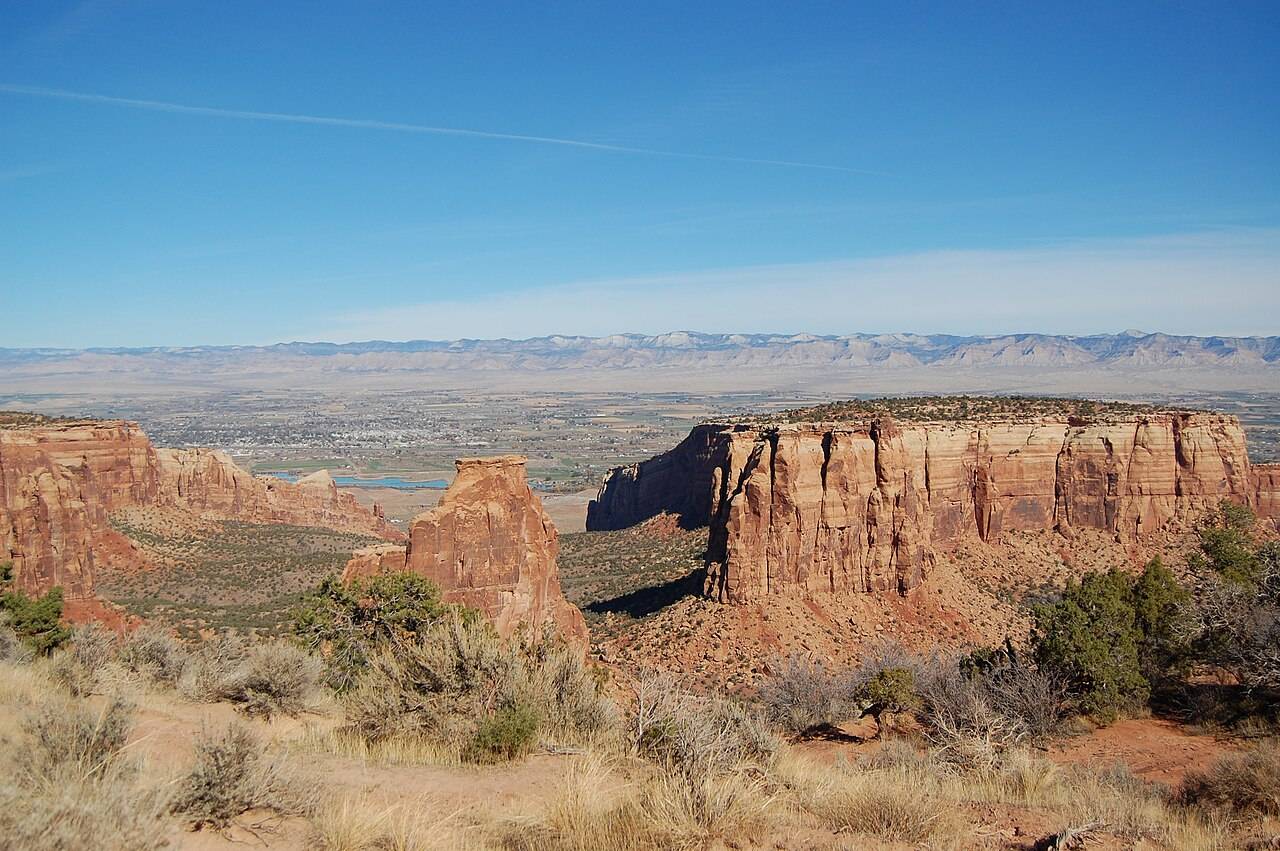
Colorado National Monument protects 20,533 acres of red rock canyons on the edge of the Uncompahgre Plateau, directly above Grand Junction and Fruita in western Colorado. It logged 483,436 visits in 2025, a fraction of what the big parks see, so you can drive the whole rim on a fall weekday and share the overlooks with a few cars and the occasional desert bighorn sheep.
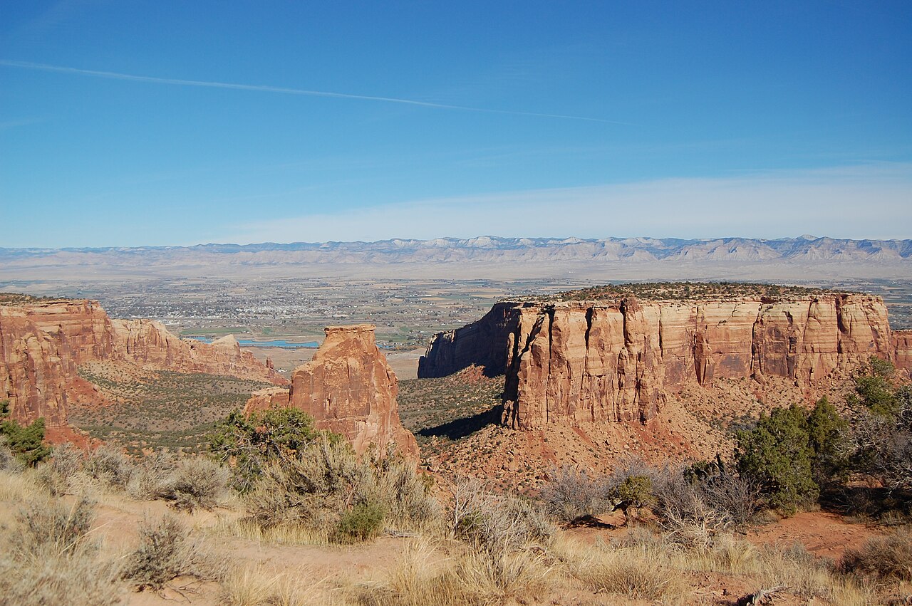
The main event is Rim Rock Drive, a 23 mile paved road that climbs from 4,690 feet on the valley floor to 6,640 feet on the mesa, passing through three tunnels and many overlooks. Below the rim, the canyons expose some of the oldest rock in the region: Proterozoic gneiss and schist at the base, capped by cliffs of Wingate Sandstone.
A Brief History
John Otto arrived in Grand Junction in the early 1900s and began cutting trails into canyons that locals considered impassable, then lobbied to protect them. President William Howard Taft used the Antiquities Act to proclaim the monument on May 24, 1911. Otto became its first ranger at a salary of $1 a month and spent the next 16 years building trails while living in a tent in the park. The Civilian Conservation Corps built most of Rim Rock Drive in the 1930s and 1940s, and it was paved between 1947 and 1951 (Wikipedia).
Transportation
You need your own wheels. Grand Junction Regional Airport is the closest airport, Amtrak runs daily service to Grand Junction, and rental cars are at the airport. Grand Valley Transit buses cover the valley but do not go into the monument, and there is no park shuttle.
There are two ways in. The west entrance is about 3 miles south of I-70 Exit 19 at Fruita on Highway 340, and the visitor center is 4 miles past the gate. The east entrance is reached from Grand Junction via Monument Road, and the visitor center is 19 miles from that side. If drop-offs bother you, enter from the west: most of that climb keeps you in the lane next to the hillside.
Language, Customs & Etiquette
English is spoken everywhere. The rules that matter are about the land: stay on marked trails, because the dark crust on the desert soil is alive and fragile. Pets and bicycles are not allowed on any trail in the monument. Slow down for bighorn sheep on the road.
Safety & Security
Heat and dehydration are the real risks. There is no water on any trail in the monument, so carry all you need, and plan summer hikes for early morning. The park warns drivers to watch for rockfall and bighorn sheep on Rim Rock Drive. Many overlooks are unfenced cliff edges with drops of several hundred feet, so keep children close.
Weather & Climate
Grand Junction is high desert at 4,646 feet: hot, dry summers and cold but mostly sunny winters. July highs average about 95F, and the rim runs roughly 2,000 feet higher and a few degrees cooler. September and October are the best hiking months, with highs in the 60s to 80s. The table shows Grand Junction normals for 1991 to 2020.
| Month | High F | Low F | Precip in |
|---|---|---|---|
| Jan | 38 | 17 | 0.61 |
| Feb | 46 | 24 | 0.53 |
| Mar | 58 | 32 | 0.80 |
| Apr | 66 | 38 | 0.98 |
| May | 77 | 47 | 0.83 |
| Jun | 89 | 57 | 0.41 |
| Jul | 95 | 64 | 0.59 |
| Aug | 91 | 62 | 0.92 |
| Sep | 82 | 53 | 1.19 |
| Oct | 67 | 40 | 0.99 |
| Nov | 52 | 28 | 0.61 |
| Dec | 39 | 18 | 0.60 |
Logistics & Practical Info
Entry costs $25 per private vehicle, $20 per motorcycle and $15 per person on foot or bike, all valid for seven days, and visitors under 16 enter free. A Colorado National Monument annual pass costs $45. The America the Beautiful pass costs $80 for U.S. residents and $250 for non-residents, and the Access Pass for U.S. residents with permanent disabilities is free.
The monument itself is open 24 hours a day, every day. The Saddlehorn Visitor Center opens 9am to 5pm in the warm season and 9am to 4pm in winter, and closes on Thanksgiving, Christmas and New Year's Day.
Camping tip: Saddlehorn Campground costs $22 a night, or $11 with a Senior or Access Pass, and every site must be reserved on recreation.gov, including same-day sites. Loop B stays open all year, while Loop A closes after October 15. RVs and trailer combinations up to 40 feet fit in Loops A and B. Only charcoal and propane fires are allowed.
Attractions & Activities
Top Sights and Hikes
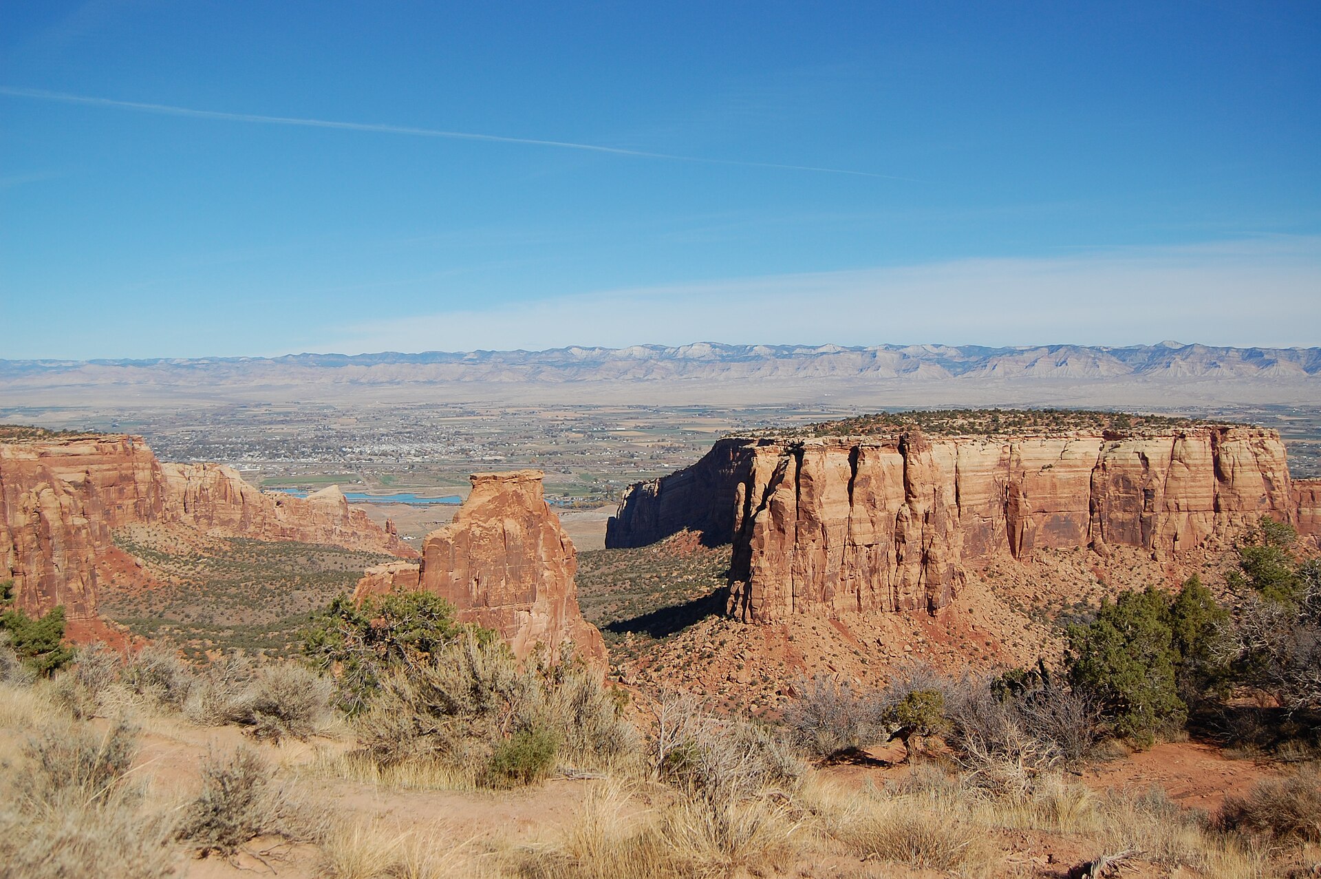
- Independence Monument (Wikipedia): a free-standing sandstone tower that rises about 450 feet above Monument Canyon. Otto made the first ascent on June 14, 1911, Flag Day, and climbers still raise a flag on the summit every July 4. You can see it from several Rim Rock Drive overlooks.
- Serpents Trail: 1.75 miles one way with 770 feet of gain, a steep run of tight switchbacks that climbs from the east side toward the rim.
- Devils Kitchen: 0.75 miles one way and 300 feet of gain to a ring of boulders, starting 0.2 miles from the east entrance.
- Monument Canyon Trail: 3.5 miles one way from the upper trailhead, dropping 840 feet past Independence Monument, the Kissing Couple and the Coke Ovens to Highway 340.
- Short rim walks near the visitor center: Canyon Rim, Window Rock, Otto's Trail and the Coke Ovens Trail are all under two miles round trip.
- Liberty Cap Trail: 1.5 miles one way and 1,100 feet of gain from the Wildwood trailhead.
Where to Eat
The monument has no restaurant, so eat in Fruita or Grand Junction. Hot Tomato Cafe at 124 North Mulberry Street in Fruita, a few miles from the west entrance, lists its Granny's Pesto pizza with feta and tomatoes from $16.99 and is a long-running stop for hikers and mountain bikers.
Health & Medical
Intermountain Health St. Mary's Regional Hospital in Grand Junction runs the main emergency department for the region. Cell service is patchy in the canyons, so tell someone your route. Shade is scarce on most trails, so cover up.
Demographics & Government
The monument sits in Mesa County and is run by the National Park Service. Grand Junction is the largest city on Colorado's Western Slope, with 65,560 people at the 2020 census.
Legal & Substances
Recreational cannabis is legal under Colorado law, but it is illegal on federal land, which includes the whole monument. Drones are prohibited. Wood fires are banned in the campground. Climbers should check current park rules before roping up.
Customs & Shopping
The visitor center bookstore sells maps, trail guides and geology books. Fruita and downtown Grand Junction cover gear and groceries.
Accessibility & Inclusion
Most of what people come to see is visible from a car. Rim Rock Drive's overlooks, such as Grand View, have parking beside the viewpoint, and the Saddlehorn Visitor Center sits on the drive.
Gateway Town Connectivity
The visitor center offers Wi-Fi, which helps for a quick check, but plan real work days in town. In Grand Junction, Alt Space at 750 Main Street lists day passes from $20, and JXN Station at 571 25 Road lists day passes from $19. With the west entrance a short drive from Fruita, you can work a morning in town and still catch the evening light on the rim.
Keep planning: Great Sand Dunes National Park Guide: Sandboarding, Rocky Mountain National Park Guide: Trail Ridge Road and Colorado Springs: Pikes Peak Base.
Fees, hours and campground details checked October 2026.