Rocky Mountain National Park Guide: Trail Ridge Road
Nomad Toolkit
Overview & Vibe
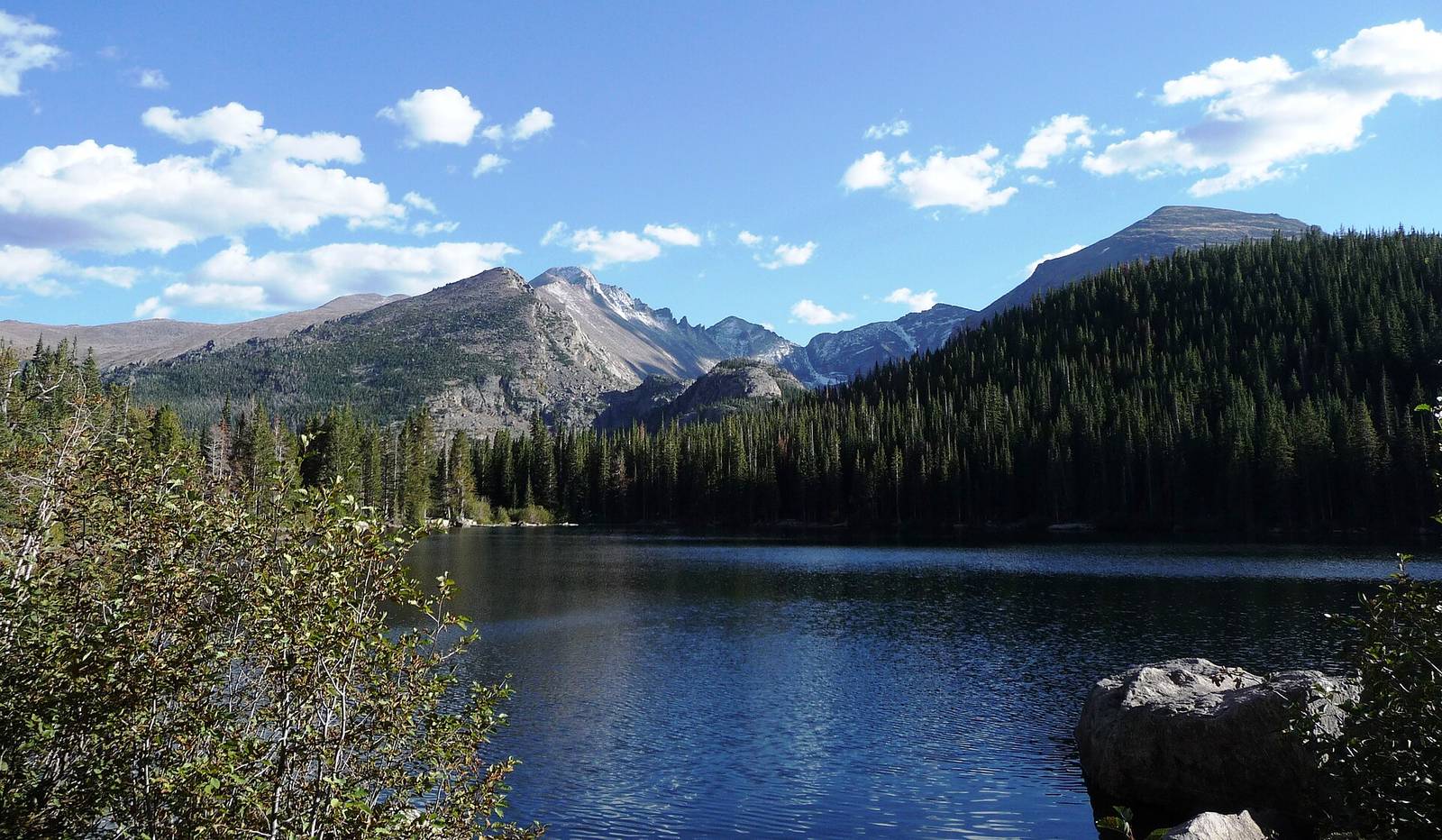
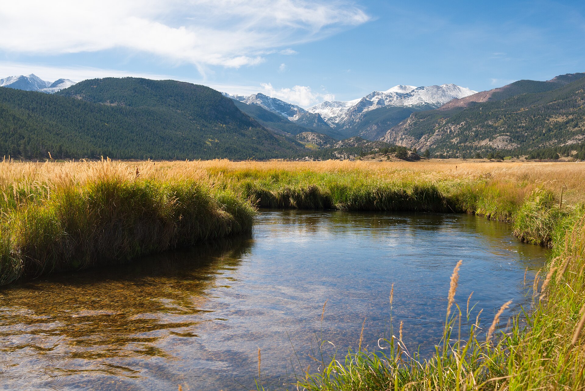
Rocky Mountain National Park covers 265,461 acres of the Colorado Front Range and drew 4,171,431 visitors in 2025. The Continental Divide runs north to south through the middle of it: streams on the west side drain to the Pacific, and the Colorado River starts in the park's northwest corner.
Longs Peak, at 14,259 feet, is the park's only fourteener. The east side, reached from Estes Park, holds the Bear Lake corridor and the big meadows of Moraine Park. The west side, reached from Grand Lake, follows the Kawuneeche Valley. Trail Ridge Road links the two in summer. In late October the high road is closed, the crowds thin out and the lower trails stay open.
A Brief History
Paleo-Indians crossed the high country on a route close to today's Trail Ridge Road, and the Ute and Arapaho later hunted and camped here. Enos Mills of Estes Park was among the loudest voices for protection, and President Woodrow Wilson signed the Rocky Mountain National Park Act on January 26, 1915 (Wikipedia).
Transportation
Denver International Airport is 75 miles southeast of Estes Park (Wikipedia). US 34 from Loveland and US 36 from Boulder are the main roads in, and State Highway 7 comes up from the south.
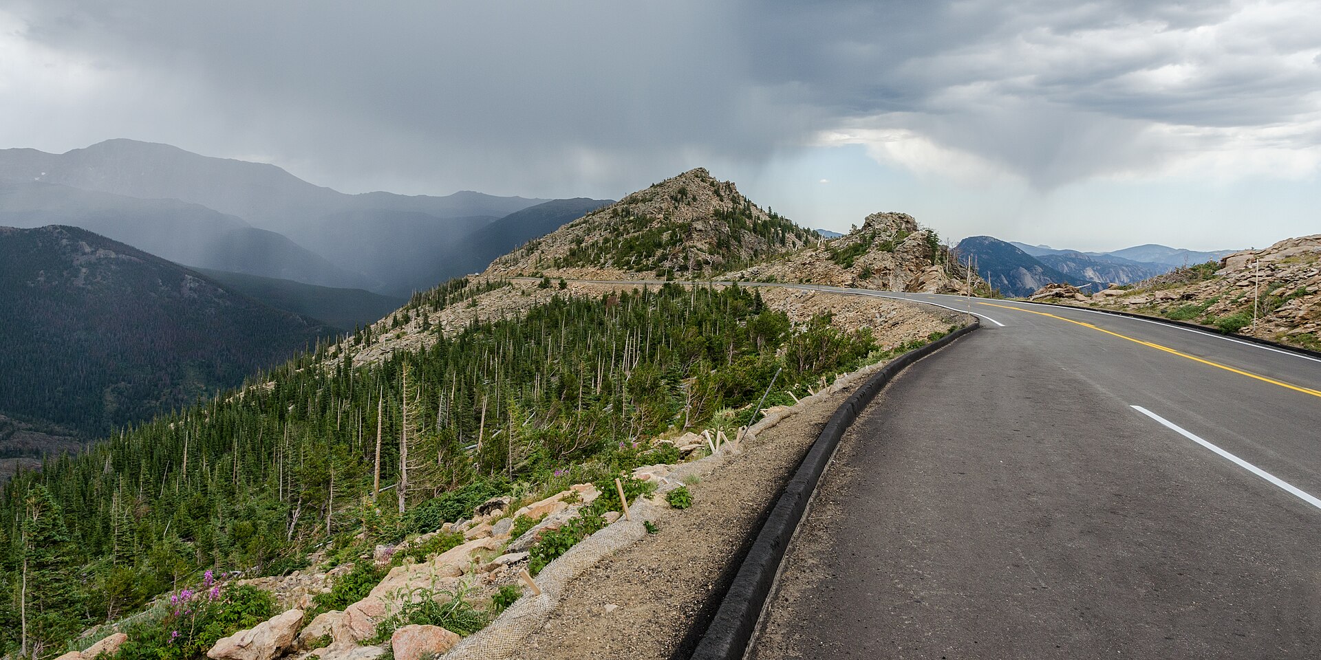
Trail Ridge Road is a 48-mile stretch of US 34 between Estes Park and Grand Lake, topping out at 12,183 feet (Wikipedia). Its upper section, between Many Parks Curve and the Colorado River Trailhead, closed to through traffic on October 23, 2026, and the park keeps it closed from mid-October to late May. In winter the east and west sides are a long drive apart through the mountains outside the park.
- The free Bear Lake and Moraine Park shuttles ran May 22 to October 18 in 2026 and are now done for the year, so you will need a car.
- Bear Lake Road stays open in winter, but parking at Bear Lake fills early on weekends.
- Road status line: 970-586-1222.
Language, Customs & Etiquette
English is spoken everywhere. Pets are not allowed on trails. Give elk at least 75 feet; in fall they gather in the meadows and bulls are aggressive. Stay on trail above treeline, where tundra plants take years to recover from trampling. Tip 18 to 20 percent at sit-down restaurants in Estes Park.
Safety & Security
Altitude, cold and fast weather changes are the real risks. Bear Lake sits near 9,500 feet, so walk slowly the first day and drink water. Snow and ice cover upper trails from October on; microspikes help on the Emerald Lake trail. Afternoon wind on exposed ridges can be strong. Carry a headlamp, since days are short in late fall. Lock food in your car, out of sight, and never leave it in a tent.
Weather & Climate
The table shows rounded monthly normals at the Bear Lake Ranger Station, about 9,500 feet up (Wikipedia). Estes Park, at roughly 7,700 feet, runs warmer. October highs average 49 F at Bear Lake.
| Month | High F | Low F |
|---|---|---|
| Jan | 29 | 12 |
| Feb | 31 | 12 |
| Mar | 38 | 16 |
| Apr | 44 | 22 |
| May | 53 | 30 |
| Jun | 64 | 37 |
| Jul | 71 | 43 |
| Aug | 69 | 42 |
| Sep | 61 | 36 |
| Oct | 49 | 28 |
| Nov | 36 | 19 |
| Dec | 28 | 12 |
Logistics & Practical Info
- Entrance: $30 per vehicle for one day or $35 for seven days; $25 or $30 per motorcycle; $15 or $20 per person on foot or bike.
- New in 2026: a $100 surcharge per non-US resident age 16 and over, waived with an annual or America the Beautiful pass.
- Passes: $70 park annual pass for US citizens and residents; America the Beautiful $80 for residents, $250 for non-residents.
- Cards only at entrance stations; no cash.
- Timed entry ended October 19 for the Bear Lake corridor and October 13 for the rest of the park, so no reservation is needed until it returns in late May.
- Fee-free days left in 2026 for US citizens and residents: October 27 and November 11.
- The park is open 24 hours, all year. Beaver Meadows Visitor Center and Kawuneeche Visitor Center are open daily all year except Thanksgiving and Christmas. The Alpine Visitor Center is closed until Trail Ridge Road reopens.
Attractions & Activities
Top Sights and Hikes
- Bear Lake: a 0.6-mile loop with 20 feet of gain, the easiest high lake in the park.
- Emerald Lake: 3.3 miles round trip and 771 feet of gain from the Bear Lake Trailhead, passing Nymph and Dream lakes below Hallett Peak.
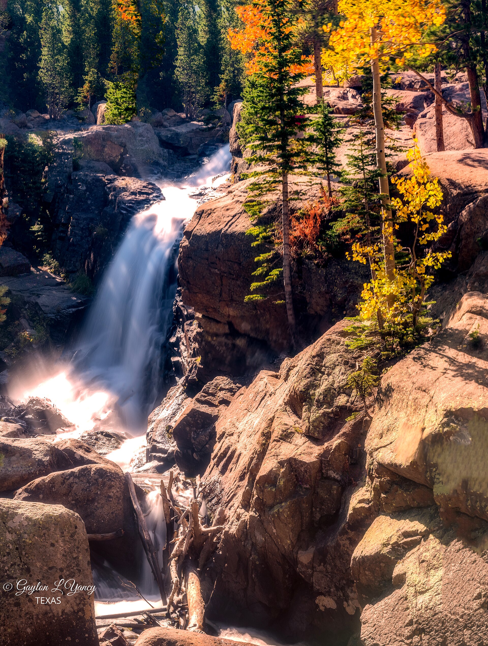
- Alberta Falls: 1.6 miles round trip and 160 feet of gain from the Glacier Gorge Trailhead.
- Mills Lake: just over 5 miles round trip and 700 feet of gain, continuing past Alberta Falls into Glacier Gorge.
- Moraine Park: a wide meadow on the Bear Lake Road side, good for watching elk at dawn and dusk.
- Sprague Lake: a flat loop with views of the Continental Divide.
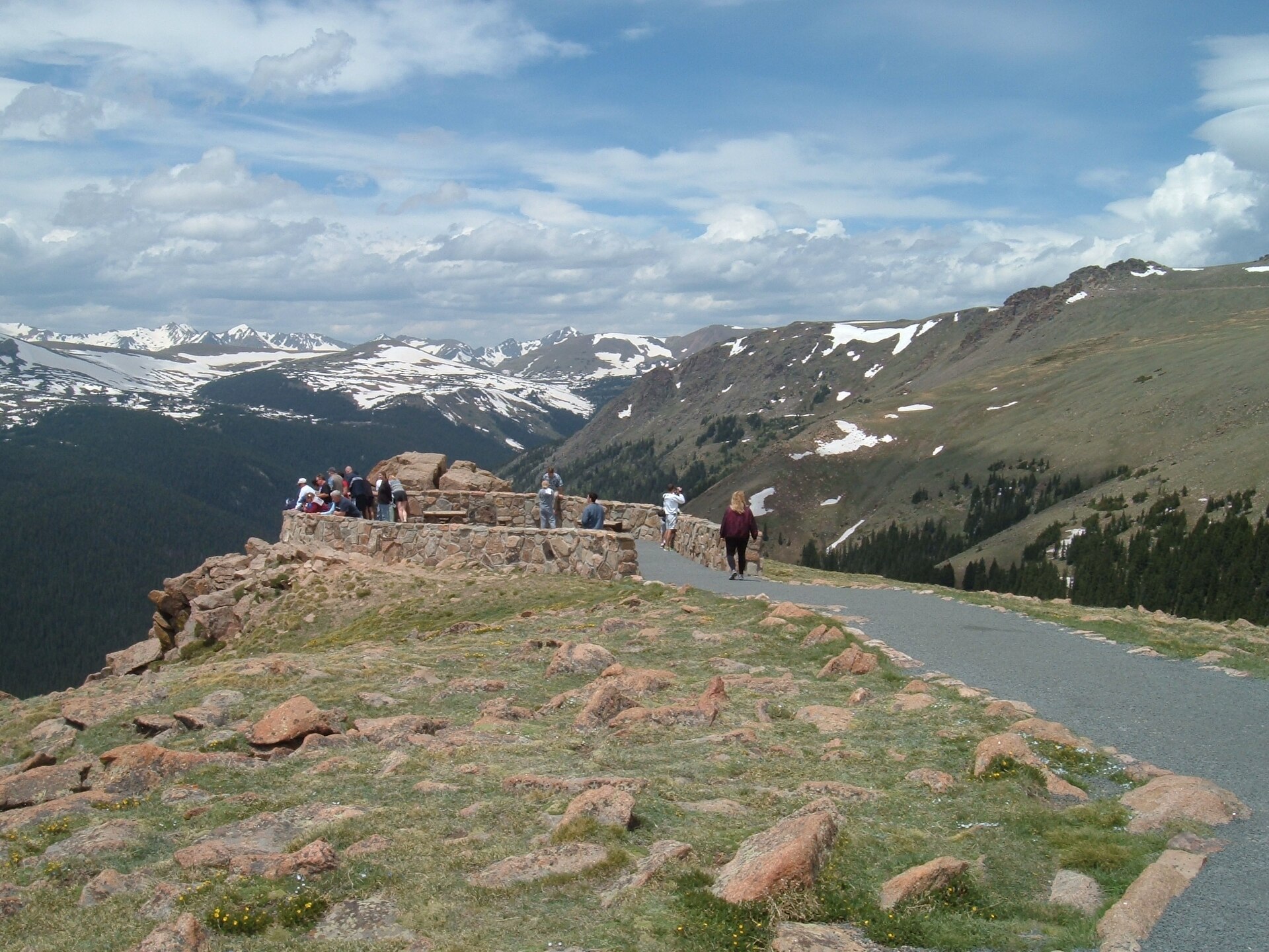
- Many Parks Curve: where Trail Ridge Road is gated for winter, with wide views over the east-side valleys.
- Longs Peak: the Keyhole Route is 8.4 miles each way with 4,875 feet of gain and Class 3 scrambling (Wikipedia). Treat it as a summer objective; in late fall it is a mountaineering climb.
Where to Eat
Eat in Estes Park. Ed's Cantina & Grill at 390 E Elkhorn Avenue lists the Cantina Burger at $18.50 and a chicken fajita bowl at $21 on its menu. There is no food for sale inside the park in winter, so pack lunch.
Health & Medical
Estes Park has the nearest hospital on the east side; Granby serves the west. Call 911 in an emergency, but expect gaps in cell coverage on trails. Altitude sickness shows up as headache and nausea; the fix is to go down.
Park Management & Land
The National Park Service runs the park, and most of it is managed as wilderness. National forest land borders much of it, including the Indian Peaks to the south. Backcountry camping needs a permit from the park's Wilderness Office.
Legal & Substances
Drones are banned in national parks. Colorado allows recreational cannabis, but it is illegal on federal land, including the whole park. The drinking age is 21, and open containers are banned in vehicles.
Customs & Shopping
Estes Park has groceries, fuel and outdoor shops along Elkhorn Avenue and Big Thompson Avenue. The Rocky Mountain Conservancy Nature Stores at the Beaver Meadows, Fall River and Kawuneeche visitor centers sell maps and passes, and take cash for passes.
Accessibility & Inclusion
Bear Lake's 0.6-mile loop and Sprague Lake's loop are the most accessible lake walks, though winter snow changes that. Both main visitor centers are accessible.
Gateway Town Connectivity
Plan to work from Estes Park. Vert Coworking at 1230 Big Thompson Avenue lists desk day passes from $30, with monthly memberships available. Cell service fades once you pass the park entrance, and there is little signal on most trails, so download maps and send messages before you drive in.
Work mornings in town, drive Bear Lake Road after lunch, and catch elk in Moraine Park on the way back.
Keep planning: Great Sand Dunes National Park Guide: Sandboarding and Colorado Springs: Pikes Peak Base.
Details checked October 2026 with the National Park Service. Photos: Wikimedia Commons (CC BY and CC BY-SA).