Hurricane, UT: Basecamp Near Zion
Nomad Toolkit
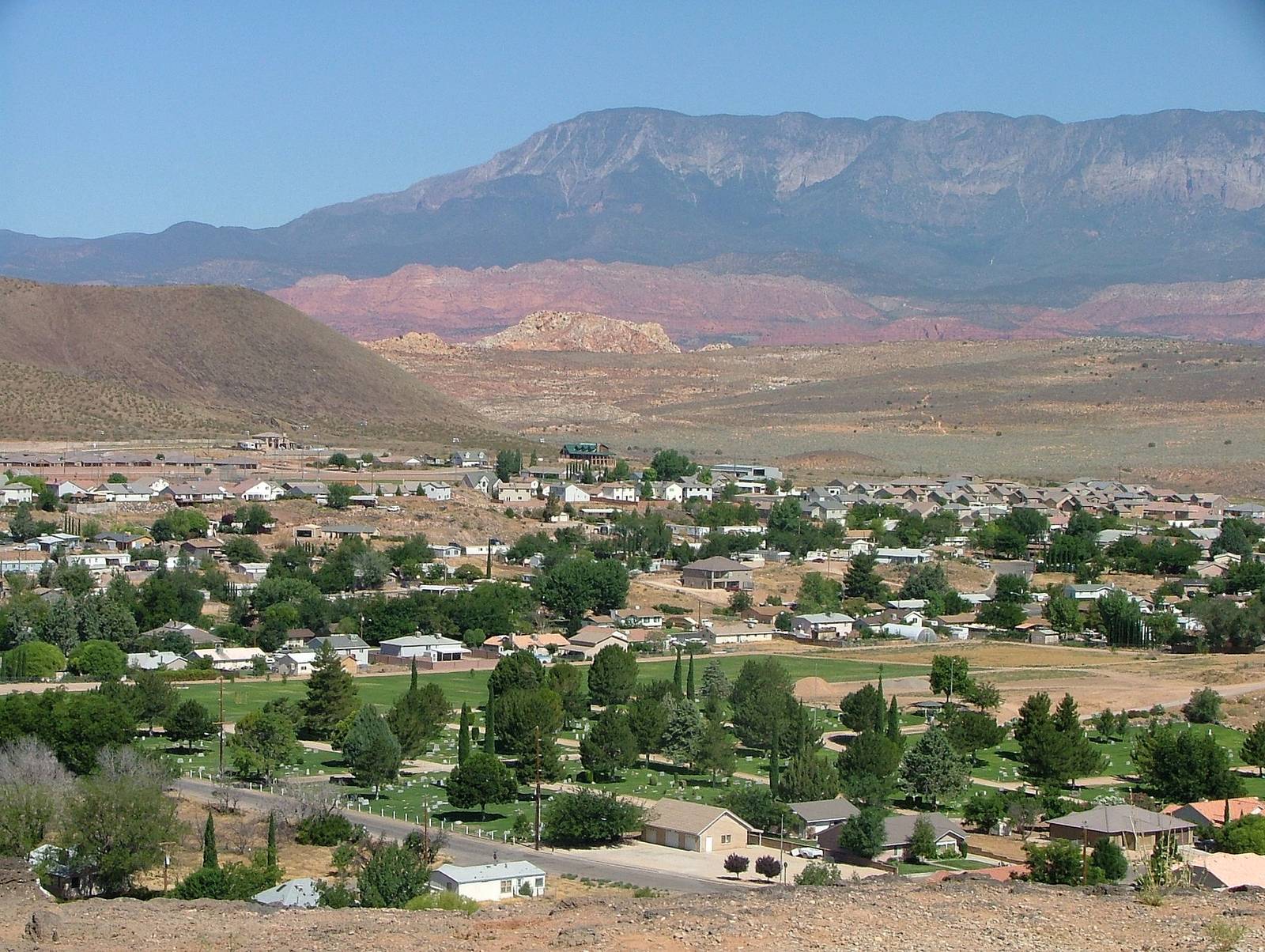
Hurricane, Utah sits about 25 miles from the south entrance of Zion National Park, and a furnished rental here runs roughly half of what the same square footage costs in Springdale. The town of 20,036 people (2020 census) is the practical basecamp for southern Utah: close enough to catch the Zion shuttle by 8 a.m., far enough to skip the tour buses at dinner.
Overview & Vibe
Hurricane (locals say "HUR-uh-kun", never "hurricane") is a working town, not a resort. Main Street has feed stores and taco shops next to climbing gyms and bike outfitters, the Virgin River runs along the north edge of town, and red sandstone cliffs frame every view. It draws van lifers, climbers, mountain bikers, and remote workers who want park access without Springdale prices or Moab crowds.
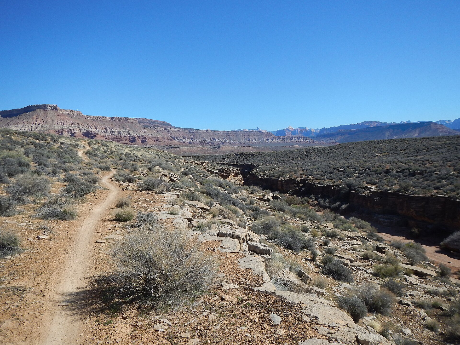
The pace is slow, and most businesses close on Sundays, a legacy of the town's Latter-day Saint roots. Plan grocery runs around that.
A Brief History
Hurricane was first settled in 1896 as part of Brigham Young's Cotton Mission, the church effort to farm southern Utah. The name came earlier, when a whirlwind tore the top off Erastus Snow's buggy and he reportedly declared "Well, that was a Hurricane," naming Hurricane Hill on the spot. The town grew around peach and pecan orchards, some still producing today. More detail is on the town's Wikipedia page.
Transportation
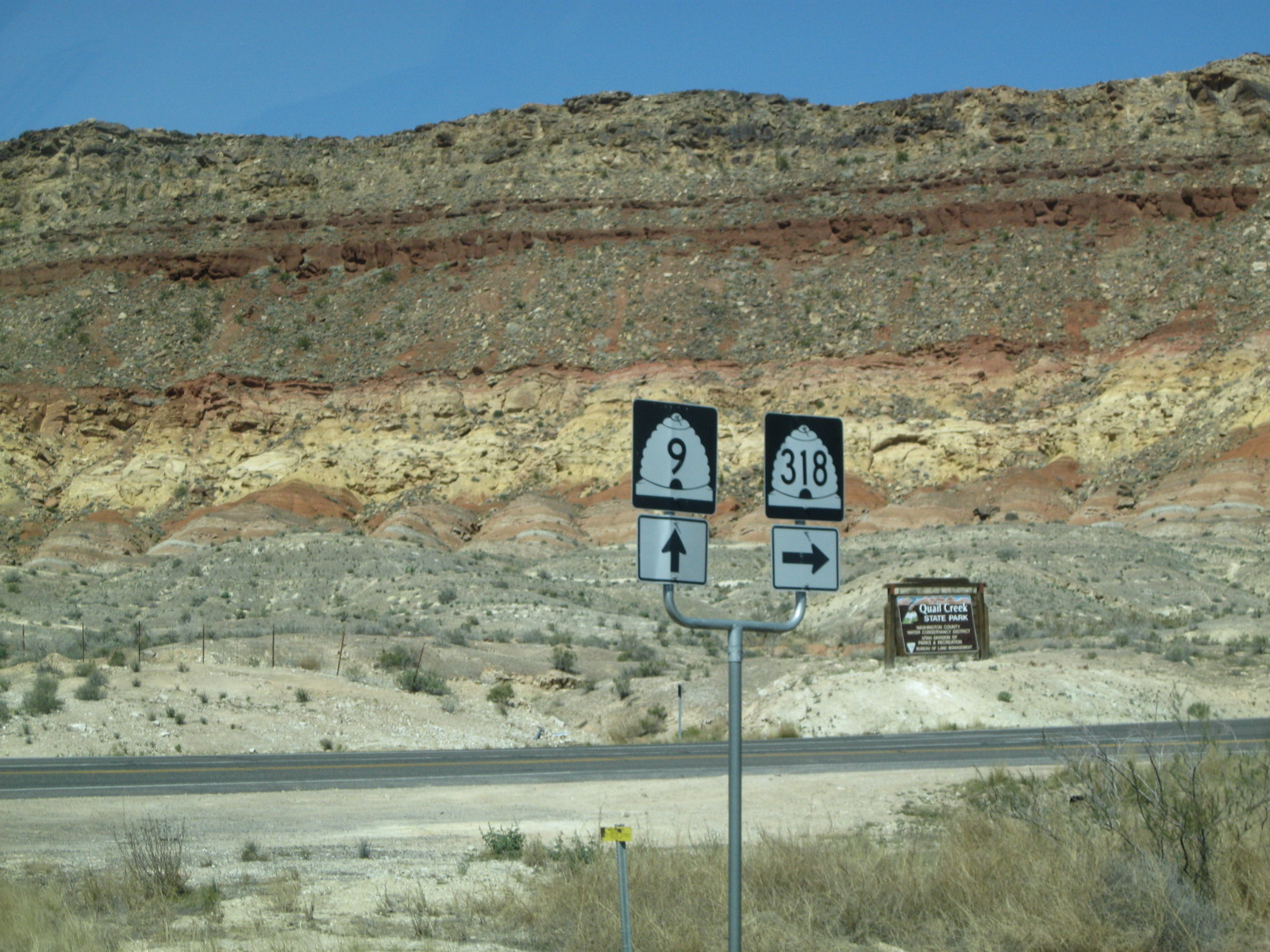
You need a car. There is no public transit in Hurricane; the SunTran bus system covers St. George, 18 miles west, but does not reach Hurricane reliably for daily use. State Route 9 runs straight through town and continues east to Zion, and Interstate 15 is 10 minutes west.
- St. George Regional Airport (SGU): 25 minutes, with direct flights to Salt Lake City, Denver, Dallas, and Phoenix
- Harry Reid International in Las Vegas: about 2 hours down I-15, usually the cheaper fare
- Uber and Lyft exist but are thin; expect 15 to 30 minute waits and book airport rides ahead
- Rental cars: book in St. George or Las Vegas; foreign licenses are accepted for visitors, minimum age typically 21 to 25
Driving is on the right, and SR-9 into Zion backs up between 9 a.m. and noon in spring and fall. Leave Hurricane by 7:30 a.m. to park in Springdale without circling.
Language, Customs & Etiquette
English everywhere, with standard American small talk: "How's it going?" expects "Good, thanks", not a real answer. Tip 15 to 20 percent in sit-down restaurants and a dollar or two per drink. The area is majority Latter-day Saint, so coffee culture is thinner than the town's size suggests and alcohol is treated more formally than in neighboring states. Bargaining is not a thing outside yard sales.
Safety & Security
Hurricane is safer than the U.S. average for both violent and property crime, and the main risks here are environmental, not human. Dial 911 for emergencies; the poison control line is 1-800-222-1222 and 988 is the crisis lifeline.
- Heat is the real hazard: summer trail rescues are routine, so carry 3 liters of water per person on any hike after May
- Flash floods hit slot canyons even under blue sky; check the Zion flash flood forecast before entering the Narrows
- Car break-ins happen at trailheads; leave nothing visible
Solo female travelers report feeling comfortable here, though rural southern Utah is socially conservative and LGBTQ+ visibility is lower than in St. George or Springdale.
Weather & Climate
High desert at about 3,000 feet: mild winters, brutal summers, almost no rain (around 9 inches a year).
| Month | Avg High | Avg Low |
|---|---|---|
| January | 52°F (11°C) | 28°F (-2°C) |
| April | 74°F (23°C) | 45°F (7°C) |
| July | 101°F (38°C) | 70°F (21°C) |
| October | 78°F (26°C) | 48°F (9°C) |
Best months are March through May and September through mid-November. Pack sun protection year-round, a real jacket for winter nights, and nothing waterproof beyond a shell.
Tip: summer is workable if you flip the schedule. Ride or hike at 6 a.m., work through the 100°F afternoon, swim at Sand Hollow at 6 p.m.
Logistics & Practical Info
- Plugs: Type A/B, 120V at 60Hz (bring a converter for 220-240V gear)
- Time zone: Mountain Time (UTC-7, UTC-6 in summer); Utah observes daylight saving
- Tap water: safe to drink, sourced from the Virgin River system
- SIM cards: Verizon has the strongest coverage here; prepaid plans from $30 to $50 a month, Mint Mobile from $15 if T-Mobile coverage suits you
- Internet censorship: none, standard open U.S. internet
Cell signal is solid in town and along I-15 but drops fast in the canyons east on SR-9 and inside Zion. Download offline maps before heading out.
Attractions & Activities
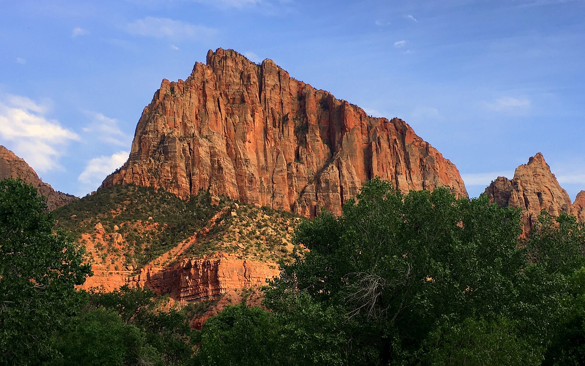
Zion National Park is the anchor: the south entrance is about 25 miles away, roughly 35 minutes. The park shuttle runs from Springdale March through November, Angels Landing requires a permit won by lottery, and the Narrows needs water shoes you can rent in Springdale for about $30.
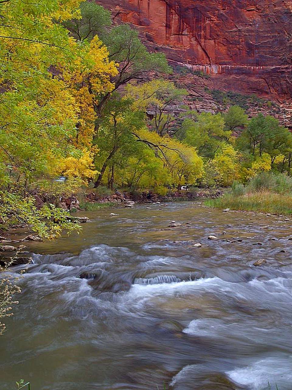
The stuff nobody budgets time for is closer to town:
- Sand Hollow State Park: a warm reservoir against orange dunes, 15 minutes from town; day use is about $15 per vehicle and you can rent paddleboards on the beach
- Quail Creek State Park: quieter water, some of the warmest swimming in Utah by late May
- Gooseberry Mesa: nationally known slickrock mountain biking without Moab's lift lines; the JEM Trail starts practically in town
- Confluence Park: free river-bottom trails where the Virgin River and La Verkin Creek meet
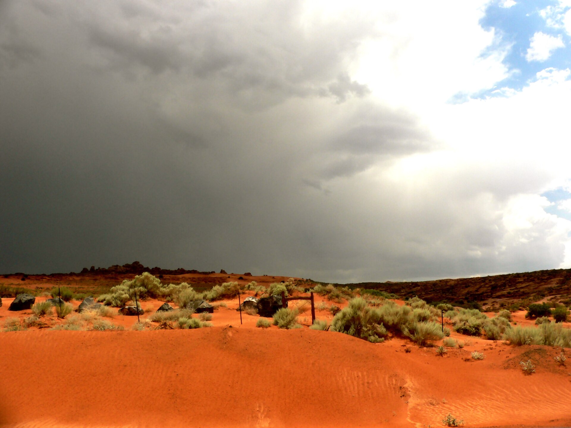
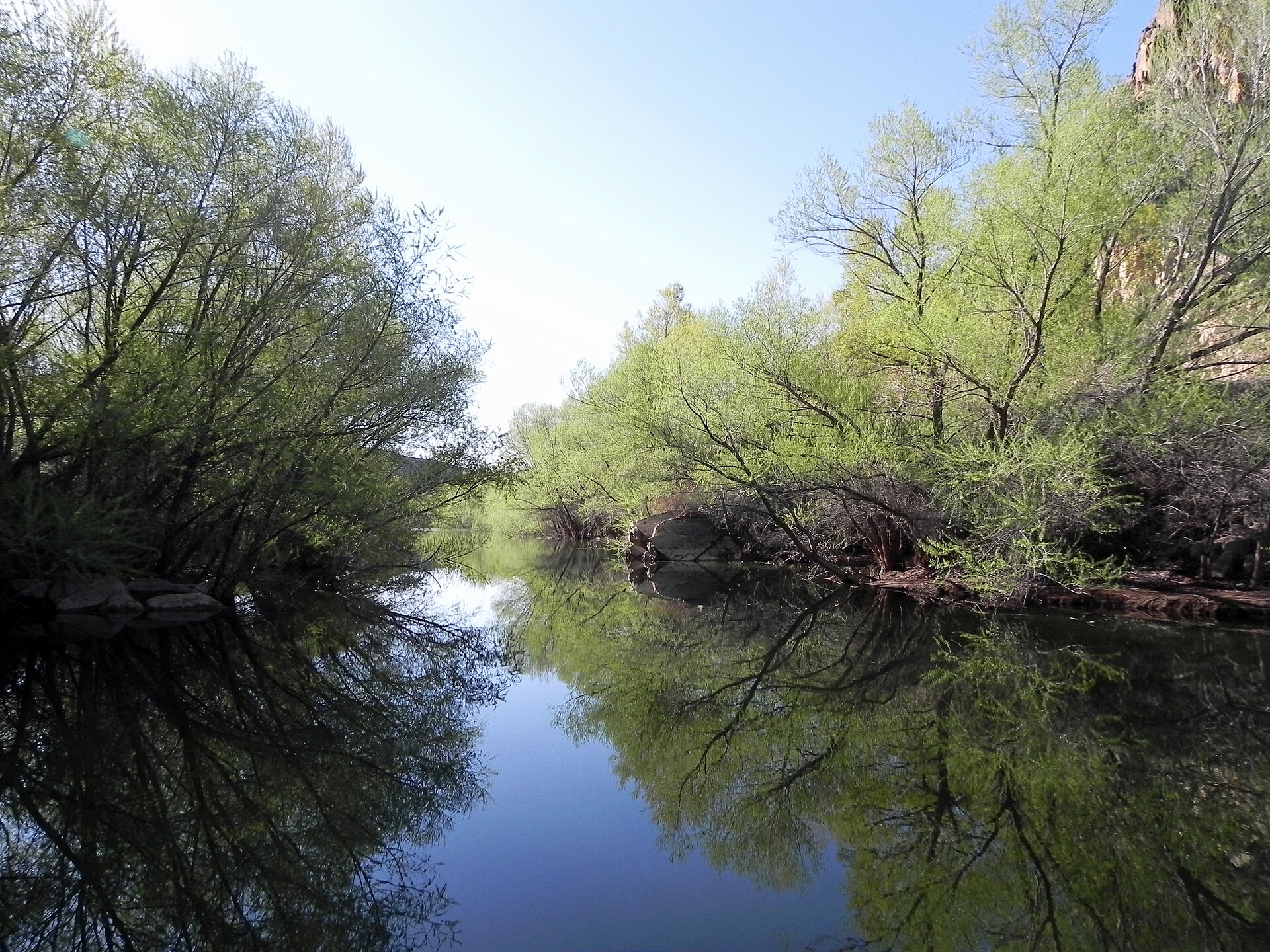
Hurricane's Peach Days festival each September is the town at its most itself: parade, rodeo, orchard stands. For eating out, locals hit the Mexican spots on State Street, where a burrito plate runs $10 to $13.
Health & Medical
The nearest full hospital is St. George Regional Hospital, an Intermountain facility 25 minutes west with a Level II trauma center; Hurricane has urgent care clinics and pharmacies on State Street. U.S. healthcare is expensive: an ER visit without insurance easily tops $1,000, so carry travel insurance and expect to pay upfront and claim later. No endemic disease worries beyond summer dehydration; tap water and restaurant food are safe. Vegetarian options are limited; vegans should plan to cook.
Demographics & Government
Hurricane counted 20,036 residents in 2020 and is one of the fastest growing corners of Washington County. The population is predominantly white and majority Latter-day Saint, with a median age around 39. The city runs on a mayor and council under Utah law; the U.S. is a federal constitutional republic, which travelers mostly notice as rules changing at every state line.
Legal & Substances
- Cannabis: medical only in Utah, and out-of-state cards are not honored for purchase; recreational use remains illegal
- Alcohol: 21 and up; grocery stores sell beer up to 5% ABV, everything stronger comes from the state liquor store, and bars are scarce in Hurricane itself
- Public drinking: illegal, including at trailheads and state park beaches
- Smoking: banned indoors statewide under the Utah Indoor Clean Air Act
Customs & Shopping
Returning international travelers get the standard $800 U.S. duty-free exemption, and currency over $10,000 must be declared at the border. The souvenirs worth suitcase space are edible: Hurricane peaches and pecans from late-summer orchard stands along SR-9. Native American art is sold throughout the region; buy from tribal-run shops or artists directly, and taking artifacts from public land is a federal crime.
Accessibility & Inclusion
ADA standards apply to hotels, restaurants, and public buildings, and newer construction in Hurricane is generally wheelchair friendly. In Zion, the shuttles are wheelchair accessible and the paved Pa'rus Trail is the park's best accessible route. Sand Hollow and Quail Creek have accessible restrooms and ramps at day-use areas, though the sand itself is hard going. Older Main Street storefronts can have steps; call ahead.
Digital Nomad Corner
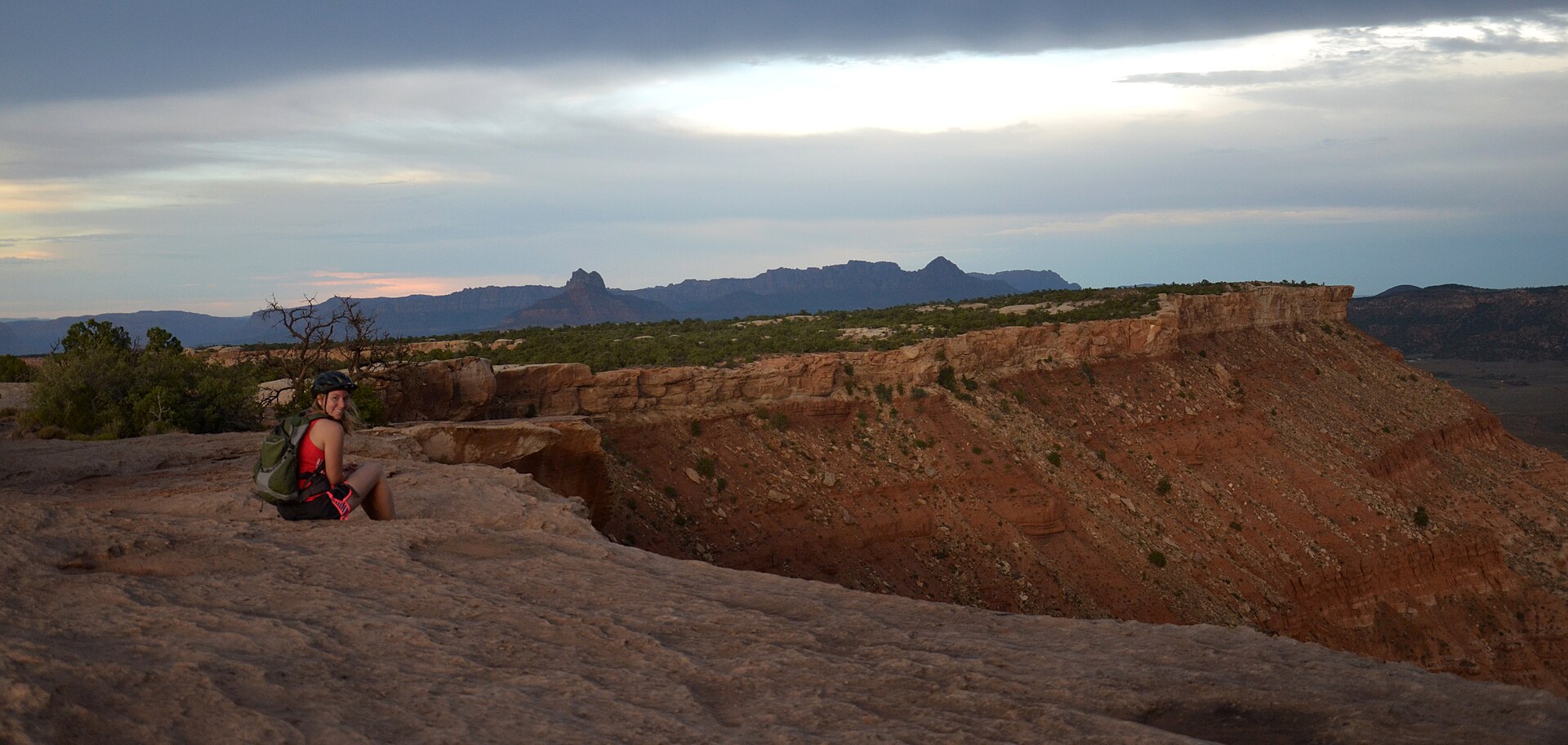
Hurricane suits nomads who want mornings on slickrock and afternoons on calls. A furnished one-bedroom runs $1,300 to $1,700 a month, against $2,500 or more in Springdale, and monthly Airbnb discounts are common October through February.
- Workspace: no dedicated coworking in Hurricane yet; the nearest options are in St. George, 25 minutes away, so most people work from home rentals
- Coffee office: River Rock Roasting Company in La Verkin, 10 minutes north, has a canyon-rim patio and reliable WiFi
- Internet: cable and fixed wireless in most rentals; confirm speeds with hosts, and note Starlink is common among van lifers here
- Visas: no U.S. digital nomad visa exists; most visitors work remotely on ESTA (90 days) or a B-2 stay, and working for a U.S. employer on either is not permitted
Community is seasonal: spring and fall bring a real overlap of van lifers, climbers, and remote workers at Sand Hollow and the Gooseberry Mesa camps. Summer empties out for good reason.
Photos: Wikimedia Commons (CC BY / CC BY-SA / PD): hero, rim trail, SR-9, Watchman, Narrows, Sand Hollow, Quail Creek, Gooseberry.
Keep planning: Alta: Utah's Skier-Only Mountain, Amicalola Falls State Park Guide and Arches National Park Guide: Delicate Arch & Top Trails.