Shenandoah National Park Guide: Skyline Drive & Best Hikes
Nomad Toolkit
Overview & Vibe
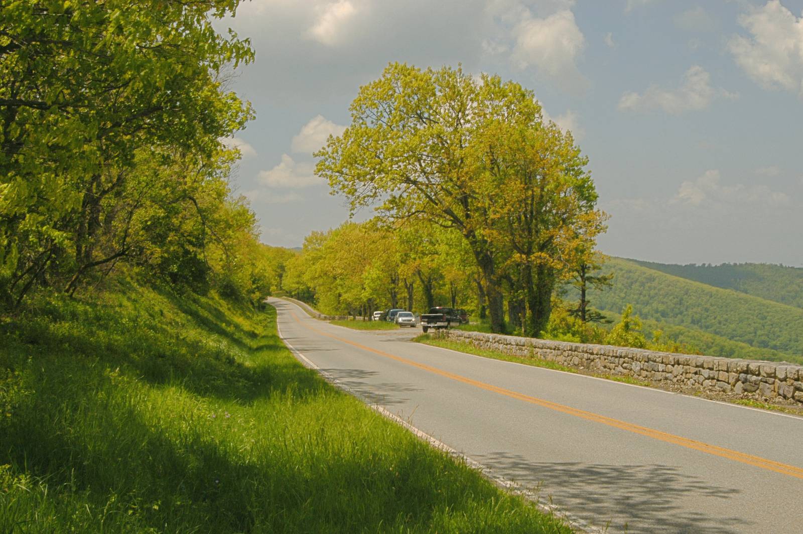
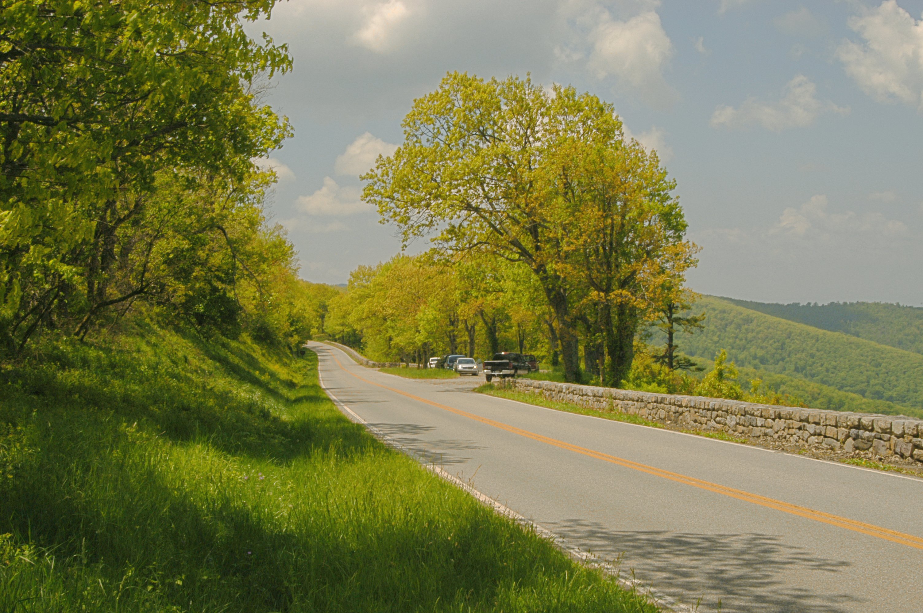
Shenandoah National Park covers 199,173 acres along the Blue Ridge Mountains in northwestern Virginia, running 105 miles from Front Royal in the north to Waynesboro in the south. Skyline Drive (Wikipedia), the only public road, follows the full ridge at an average elevation of 3,000 feet with 75 overlooks into the Shenandoah Valley and the Piedmont. The park draws roughly 1.4 million visitors per year, peaking during fall foliage (mid-October to early November) and summer weekends.
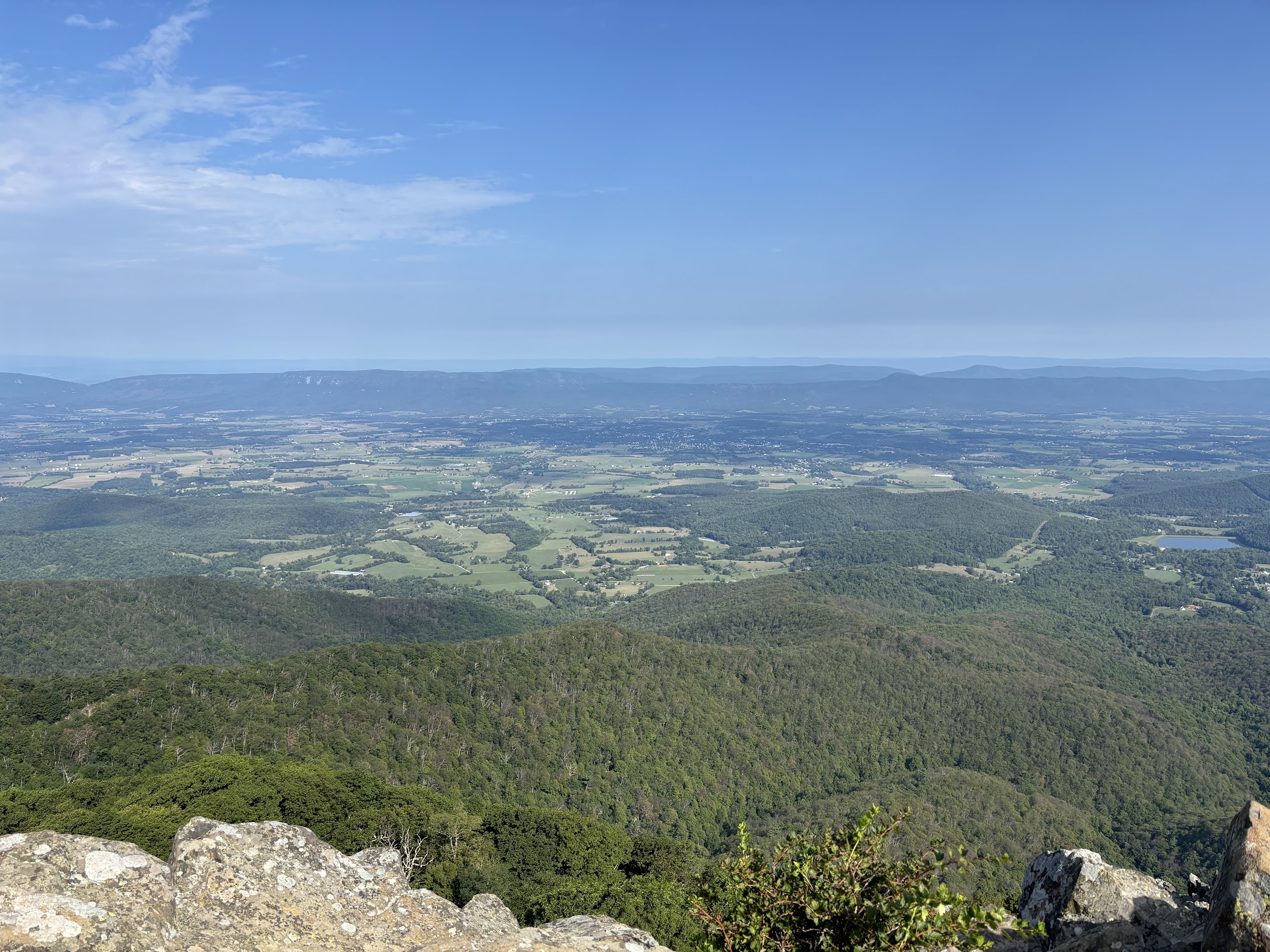
Visitors split into two groups: day-trippers from Washington D.C. (about 95 miles northeast) and overnight hikers on the 101-mile Appalachian Trail segment that runs through the park. The park contains over 500 miles of total trails, 19 drive-in campgrounds and lodge options, and 70 backcountry campsites. Cell service drops within the first mile on most interior trails; plan accordingly.
A Brief History
Congress authorized a national park in Virginia's Blue Ridge in 1926, and the Commonwealth assembled the land through eminent domain, displacing hundreds of mountain residents whose homesites and cemeteries still dot the hollows. Civilian Conservation Corps crews built overlooks, trails, and facilities through the Depression years while Skyline Drive took shape along the ridge. The park was formally established on December 26, 1935, and President Franklin D. Roosevelt opened Shenandoah National Park on July 3, 1936. Herbert Hoover's Rapidan Camp, the fishing retreat he built inside the present boundary in 1929, still stands near the headwaters of the Rapidan River.
Transportation
No public transit serves the park. Three entrance stations connect to Skyline Drive: Front Royal (US-340, north), Thornton Gap (US-211, Mile 31.5), and Rockfish Gap (I-64, south near Waynesboro). The 35 mph speed limit means the full 105-mile drive takes about 3 hours without stops. Entrance fee: $35/vehicle for a 7-day pass; $20/motorcycle. The America the Beautiful Annual Pass ($80) covers all NPS sites.
Parking at Old Rag and other popular trailheads fills by 8 AM on summer and fall weekends. Ride-share operates in Front Royal and Waynesboro but is scarce inside the park.
Language, Customs & Etiquette
English is the only language used in the park. Leave No Trace applies throughout: pack out all trash, camp only in designated sites, stay on marked trails. Yield to uphill hikers on the Appalachian Trail. Drones require a Special Use Permit and are prohibited without one. Dogs are allowed on leash on most trails but are banned from backcountry below 2,800 feet during deer fawning season (May 15 to August 1).
Safety & Security
Black bears are active throughout the park (estimated 300-500 animals). Store food in bear canisters or hang bags 10 feet off the ground when camping; car break-ins for improperly stored food occur at overnight trailhead lots. Timber rattlesnakes and copperheads inhabit rocky outcrops, particularly on Old Rag and Hawksbill; watch hand and foot placement on scramble sections. Lightning risk is high on exposed ridge sections from June through August; plan to be off summits by early afternoon. Emergency: 911. Nearest Level I trauma center: UVA Medical Center in Charlottesville, about 40 miles from the south entrance.
Weather & Climate
| Month | High °F | Low °F | Rain in |
|---|---|---|---|
| Jan | 38 | 20 | 3.0 |
| Apr | 60 | 38 | 3.5 |
| Jul | 82 | 60 | 4.2 |
| Oct | 62 | 40 | 3.3 |
Afternoon thunderstorms build by 2 PM most days from June through August. Skyline Drive closes sections during ice and snow. Fall foliage peaks mid-October at elevation and moves downslope through early November. Spring and fall mornings bring frequent ridge fog that clears by mid-morning.
Logistics & Practical Info
Skyline Drive is open 24 hours subject to weather closures. Visitor centers operate 9 AM to 5 PM: Dickey Ridge (Mile 4.6), Harry F. Byrd Sr. (Mile 51), Loft Mountain (Mile 79.5). Verizon has the best in-park coverage; most carriers lose signal on interior trails. Download AllTrails or Gaia GPS offline maps before entry. WiFi is available for lodge guests at Big Meadows (Mile 51) and Skyland Resort (Mile 41-42). Plug type: A/B (120V). Time zone: Eastern (UTC-5, DST applies). Tap water at campgrounds and lodges is safe to drink.
Attractions & Activities
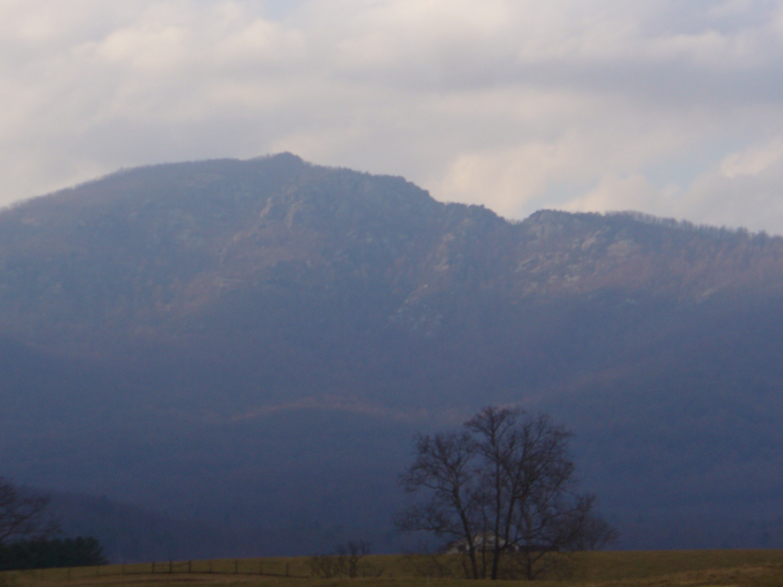
Old Rag Mountain: 9.2 miles roundtrip with 2,860 feet of gain and a rock scramble near the summit requiring hands. Timed-entry day-use permits ($1, separate from park entrance) are required March 1 through November 30; book on recreation.gov weeks in advance for weekends.
Hawksbill Summit (Wikipedia): The park's highest point at 4,049 feet, 2.8 miles roundtrip from the Upper Hawksbill trailhead (Mile 46.7). Clear days give views into West Virginia and Pennsylvania. Peregrine falcons nest on the cliffs below from March through July.
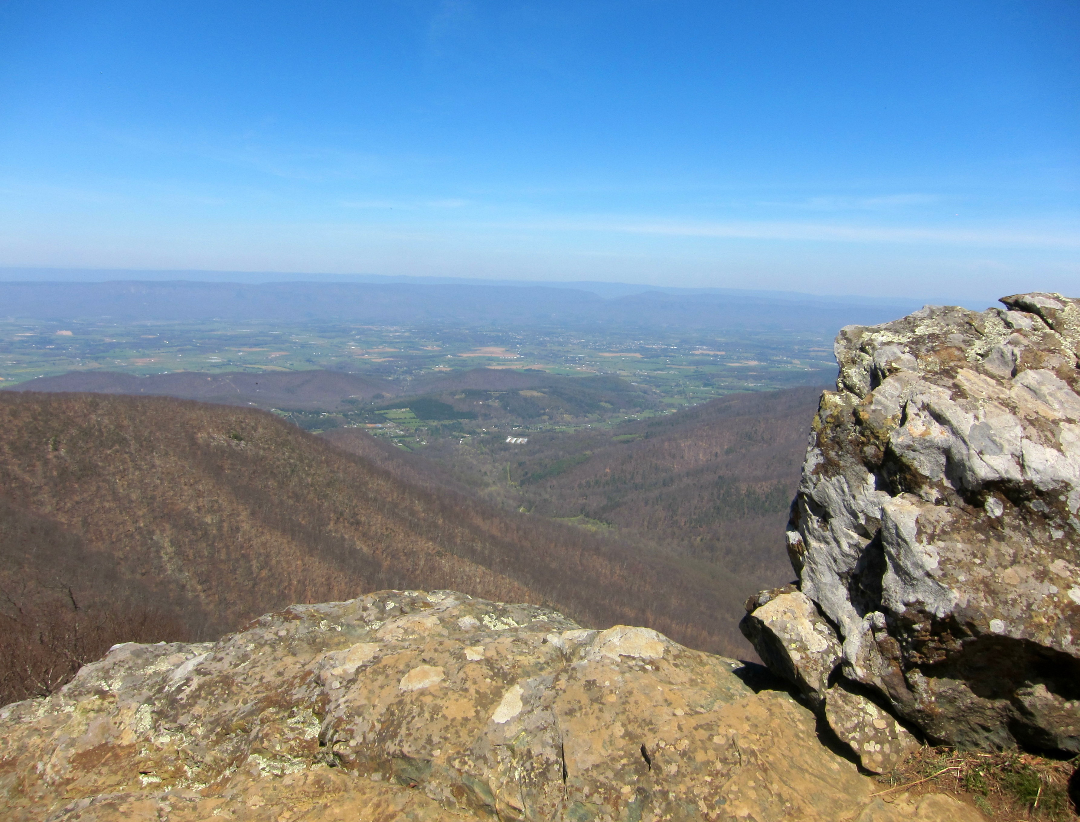
Dark Hollow Falls (Wikipedia): 1.4 miles roundtrip near Big Meadows (Mile 50.7), dropping 70 feet over greenstone rock. Arrive before 9 AM on weekends for parking. Descend first; the climb back up is steep.
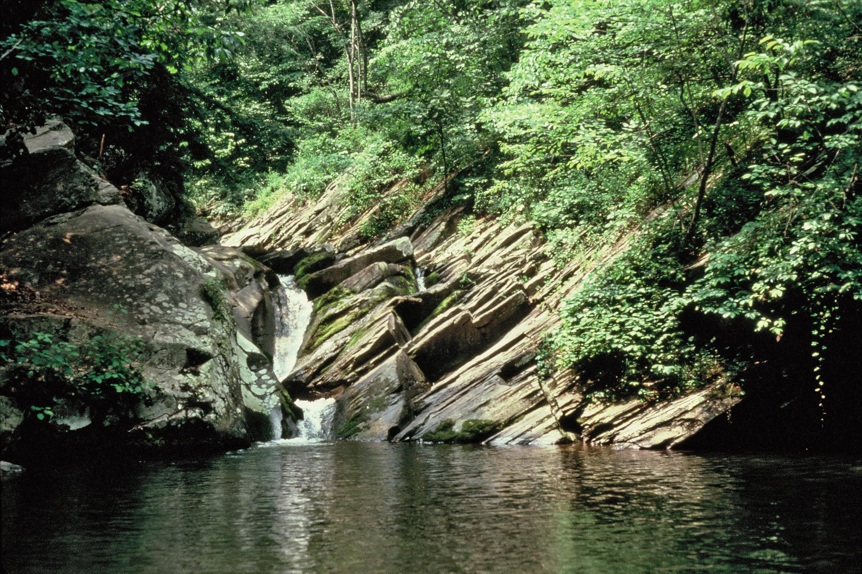
Stony Man Trail: The easiest high-elevation hike in the park, 1.6 miles roundtrip from the Skyland parking area (Mile 41.7). The summit at 4,011 feet is the park's second-highest point and requires less than 30 minutes of hiking from the trailhead.
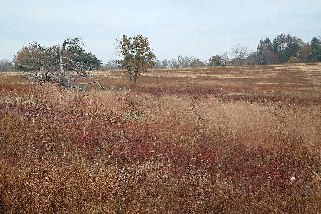
Big Meadows: An open plateau at Mile 51 maintained by the NPS through controlled burns to preserve its grassland character. White-tailed deer graze here at dawn and dusk in numbers regularly exceeding 20 animals. The area includes a campground ($30/night), lodge, and one of the best dark-sky areas within 100 miles of Washington D.C.
Health & Medical
Deer ticks carry Lyme disease; risk runs April through September. Check after every hike and remove promptly. Stream water requires filtration (Giardia is present). Poison ivy is common on trail edges. Nearest urgent care: Luray Urgent Care (438 W Main St), about 10 miles from the park center. ER costs run $800-3,000 without domestic health coverage; travel insurance is advisable.
Demographics & Government
The park is administered by the National Park Service, U.S. Department of the Interior. Page County (pop. 24,000) and Warren County (pop. 43,000) border the park to the west. The US is a federal constitutional republic; Virginia state law governs surrounding communities, NPS regulations apply within park boundaries.
Legal & Substances
Recreational marijuana is legal in Virginia for adults 21 and over (up to one ounce) but is prohibited within NPS boundaries under federal law. Alcohol is permitted at campsites and picnic areas, not on trails. Firearms are permitted under Virginia law (open or concealed carry with valid permit). Hunting and collecting plants, rocks, or wildlife are prohibited.
Customs & Shopping
Camp stores at Big Meadows (Mile 51) and Loft Mountain (Mile 79.5) sell food, firewood, and limited gear. Full resupply in Luray at the Walmart Supercenter on US-211, about 10 miles from Thornton Gap. Virginia sales tax: 5.3% state plus up to 1% local. Tipping 15-20% is standard at sit-down restaurants.
Accessibility & Inclusion
All 75 overlooks on Skyline Drive are accessible by vehicle. The Limberlost Trail (Mile 43, 1.3 miles, paved) is wheelchair accessible with assistance. Big Meadows Lodge and Skyland Resort have ADA-accessible rooms; book via DNCParks.com early, as they sell out months ahead for peak season. Old Rag and most backcountry trails are not accessible. Service animals are permitted throughout.
Digital Nomad Corner
Shenandoah works as a 1-3 day wilderness break, not a work base. Lodge WiFi at Big Meadows and Skyland averages 15-25 Mbps and is unreliable at peak occupancy. For reliable work in the area, Luray has Gathering Grounds cafe (34 E Main St) and a public library with free WiFi. Charlottesville, 40 miles south, has coworking options and Amtrak service to Washington D.C. (2.5 hours, $25-45).
Costs: Campsites $20-30/night. Big Meadows Lodge $139-219/night (peak season). Skyland Resort $145-230/night. Day trip from D.C.: $35 entrance plus roughly $20 gas each way. Groceries and meals in Luray average 10-15% below D.C. prices. A week based in Luray with daily park visits runs $400-600 total including lodging, food, and entrance fees.
Visas: International visitors enter on a B-2 tourist visa (up to 6 months) or ESTA Waiver (90 days). No US digital nomad visa exists; remote work on tourist entry is a legal gray area.
Keep planning: Amicalola Falls State Park Guide, Arches National Park Guide: Delicate Arch & Top Trails and Badlands National Park Guide: Loop Road and Wildlife.